
311 Bus Route Map
View the 311 route map and see all 311 stops along the route. The map of 311 shows where the bus travels and the location of each stop, making it easy to understand the entire route at a glance.
Explore HCR routes on the map and see where HCR bus services operate. Use the 311 map to find bus stops and see how the 311 connects different areas along its trip.
All 311 stops on the map are displayed in route order, helping you follow the 311 bus from the first stop to the last.
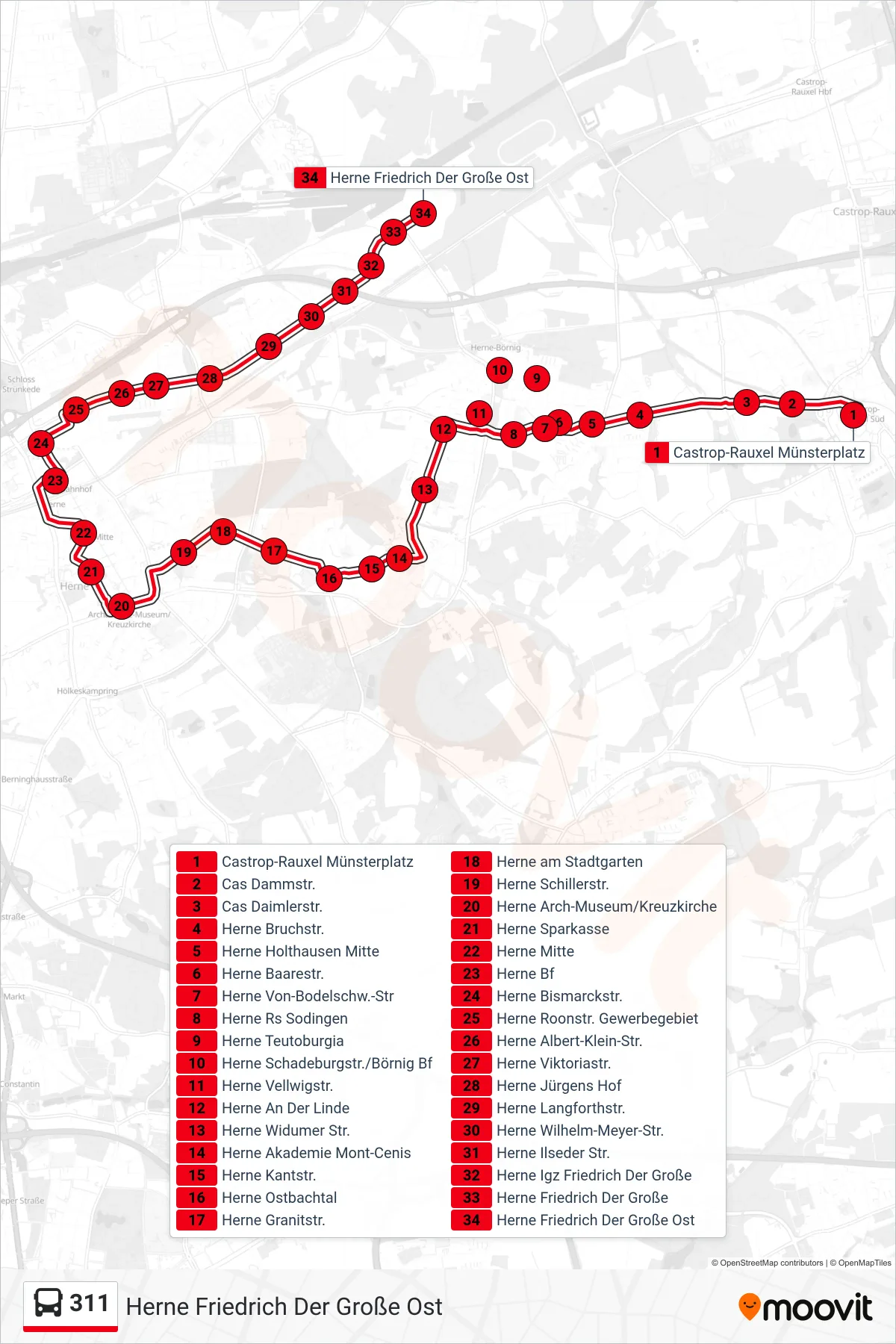
Stops list (311 - Herne Friedrich Der Große Ost)
- Castrop-Rauxel Münsterplatz
- Cas Dammstr.
- Cas Daimlerstr.
- Herne Bruchstr.
- Herne Holthausen Mitte
- Herne Baarestr.
- Herne Von-Bodelschw.-Str
- Herne Rs Sodingen
- Herne Teutoburgia
- Herne Schadeburgstr./Börnig Bf
- Herne Vellwigstr.
- Herne An Der Linde
- Herne Widumer Str.
- Herne Akademie Mont-Cenis
- Herne Kantstr.
- Herne Ostbachtal
- Herne Granitstr.
- Herne am Stadtgarten
- Herne Schillerstr.
- Herne Arch-Museum/Kreuzkirche
- Herne Sparkasse
- Herne Mitte
- Herne Bf
- Herne Bismarckstr.
- Herne Roonstr. Gewerbegebiet
- Herne Albert-Klein-Str.
- Herne Viktoriastr.
- Herne Jürgens Hof
- Herne Langforthstr.
- Herne Wilhelm-Meyer-Str.
- Herne Ilseder Str.
- Herne Igz Friedrich Der Große
- Herne Friedrich Der Große
- Herne Friedrich Der Große Ost