
32 Bus Route Map
View the 32 route map and see all 32 stops along the route. The map of 32 shows where the bus travels and the location of each stop, making it easy to understand the entire route at a glance.
Explore LNG Fulda routes on the map and see where LNG Fulda bus services operate. Use the 32 map to find bus stops and see how the 32 connects different areas along its trip.
All 32 stops on the map are displayed in route order, helping you follow the 32 bus from the first stop to the last.
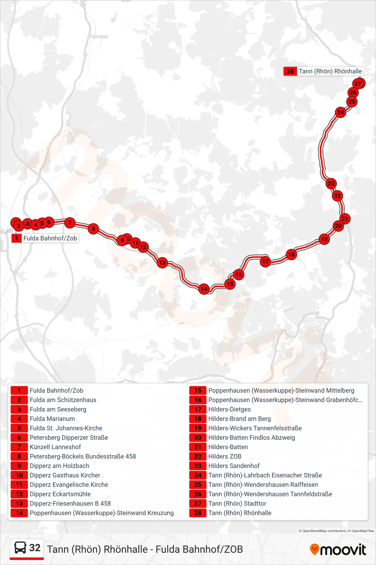
Stops list (32 - Tann (Rhön) Rhönhalle)
- Fulda Bahnhof/Zob
- Fulda am Schützenhaus
- Fulda am Seeseberg
- Fulda Marianum
- Fulda St. Johannes-Kirche
- Petersberg Dipperzer Straße
- Künzell Lanneshof
- Petersberg-Böckels Bundesstraße 458
- Dipperz am Holzbach
- Dipperz Gasthaus Kircher
- Dipperz Evangelische Kirche
- Dipperz Eckartsmühle
- Dipperz-Friesenhausen B 458
- Poppenhausen (Wasserkuppe)-Steinwand Kreuzung
- Poppenhausen (Wasserkuppe)-Steinwand Mittelberg
- Poppenhausen (Wasserkuppe)-Steinwand Grabenhöfchen
- Hilders-Dietges
- Hilders-Brand am Berg
- Hilders-Wickers Tannenfelsstraße
- Hilders-Batten Findlos Abzweig
- Hilders-Batten
- Hilders ZOB
- Hilders Sandenhof
- Tann (Rhön)-Lahrbach Eisenacher Straße
- Tann (Rhön)-Wendershausen Raiffeisen
- Tann (Rhön)-Wendershausen Tannfeldstraße
- Tann (Rhön) Stadttor
- Tann (Rhön) Rhönhalle