
339 Bus Route Map
View the 339 route map and see all 339 stops along the route. The map of 339 shows where the bus travels and the location of each stop, making it easy to understand the entire route at a glance.
Explore KVG Zickenheiner GmbH routes on the map and see where KVG Zickenheiner GmbH bus services operate. Use the 339 map to find bus stops and see how the 339 connects different areas along its trip.
All 339 stops on the map are displayed in route order, helping you follow the 339 bus from the first stop to the last.
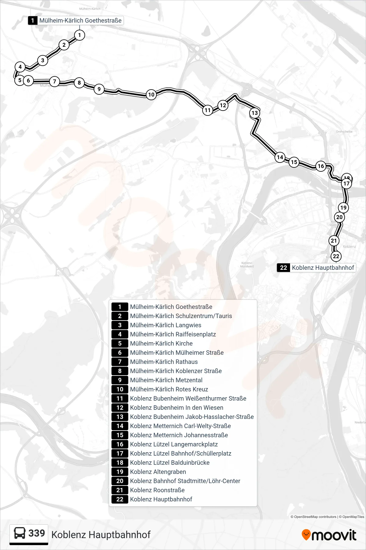
Stops list (339 - Koblenz Hauptbahnhof)
- Mülheim-Kärlich Goethestraße
- Mülheim-Kärlich Schulzentrum/Tauris
- Mülheim-Kärlich Langwies
- Mülheim-Kärlich Raiffeisenplatz
- Mülheim-Kärlich Kirche
- Mülheim-Kärlich Mülheimer Straße
- Mülheim-Kärlich Rathaus
- Mülheim-Kärlich Koblenzer Straße
- Mülheim-Kärlich Metzental
- Mülheim-Kärlich Rotes Kreuz
- Koblenz Bubenheim Weißenthurmer Straße
- Koblenz Bubenheim In den Wiesen
- Koblenz Bubenheim Jakob-Hasslacher-Straße
- Koblenz Metternich Carl-Welty-Straße
- Koblenz Metternich Johannesstraße
- Koblenz Lützel Langemarckplatz
- Koblenz Lützel Bahnhof/Schüllerplatz
- Koblenz Lützel Balduinbrücke
- Koblenz Altengraben
- Koblenz Bahnhof Stadtmitte/Löhr-Center
- Koblenz Roonstraße
- Koblenz Hauptbahnhof