
35 Bus Route Map
View the 35 route map and see all 35 stops along the route. The map of 35 shows where the bus travels and the location of each stop, making it easy to understand the entire route at a glance.
Explore METRO routes on the map and see where METRO bus services operate. Use the 35 map to find bus stops and see how the 35 connects different areas along its trip.
All 35 stops on the map are displayed in route order, helping you follow the 35 bus from the first stop to the last.
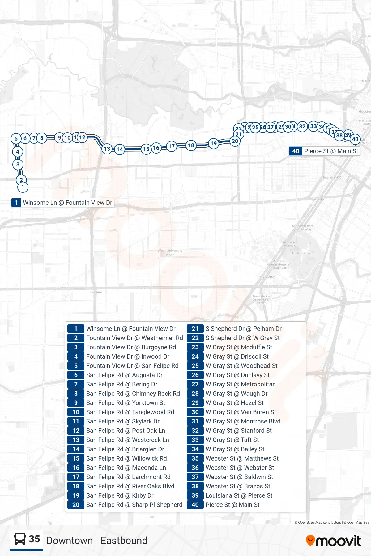
Stops list (35 - Downtown - Eastbound)
- Winsome Ln @ Fountain View Dr
- Fountain View Dr @ Westheimer Rd
- Fountain View Dr @ Burgoyne Rd
- Fountain View Dr @ Inwood Dr
- Fountain View Dr @ San Felipe Rd
- San Felipe Rd @ Augusta Dr
- San Felipe Rd @ Bering Dr
- San Felipe Rd @ Chimney Rock Rd
- San Felipe Rd @ Yorktown St
- San Felipe Rd @ Tanglewood Rd
- San Felipe Rd @ Skylark Dr
- San Felipe Rd @ Post Oak Ln
- San Felipe Rd @ Westcreek Ln
- San Felipe Rd @ Briarglen Dr
- San Felipe Rd @ Willowick Rd
- San Felipe Rd @ Maconda Ln
- San Felipe Rd @ Larchmont Rd
- San Felipe Rd @ River Oaks Blvd
- San Felipe Rd @ Kirby Dr
- San Felipe Rd @ Sharp Pl Shepherd
- S Shepherd Dr @ Pelham Dr
- S Shepherd Dr @ W Gray St
- W Gray St @ Mcduffie St
- W Gray St @ Driscoll St
- W Gray St @ Woodhead St
- W Gray St @ Dunlavy St
- W Gray St @ Metropolitan
- W Gray St @ Waugh Dr
- W Gray St @ Hazel St
- W Gray St @ Van Buren St
- W Gray St @ Montrose Blvd
- W Gray St @ Stanford St
- W Gray St @ Taft St
- W Gray St @ Bailey St
- Webster St @ Matthews St
- Webster St @ Webster St
- Webster St @ Baldwin St
- Webster St @ Brazos St
- Louisiana St @ Pierce St
- Pierce St @ Main St