
35 Bus Route Map
View the 35 route map and see all 35 stops along the route. The map of 35 shows where the bus travels and the location of each stop, making it easy to understand the entire route at a glance.
Explore Marin Transit routes on the map and see where Marin Transit bus services operate. Use the 35 map to find bus stops and see how the 35 connects different areas along its trip.
All 35 stops on the map are displayed in route order, helping you follow the 35 bus from the first stop to the last.
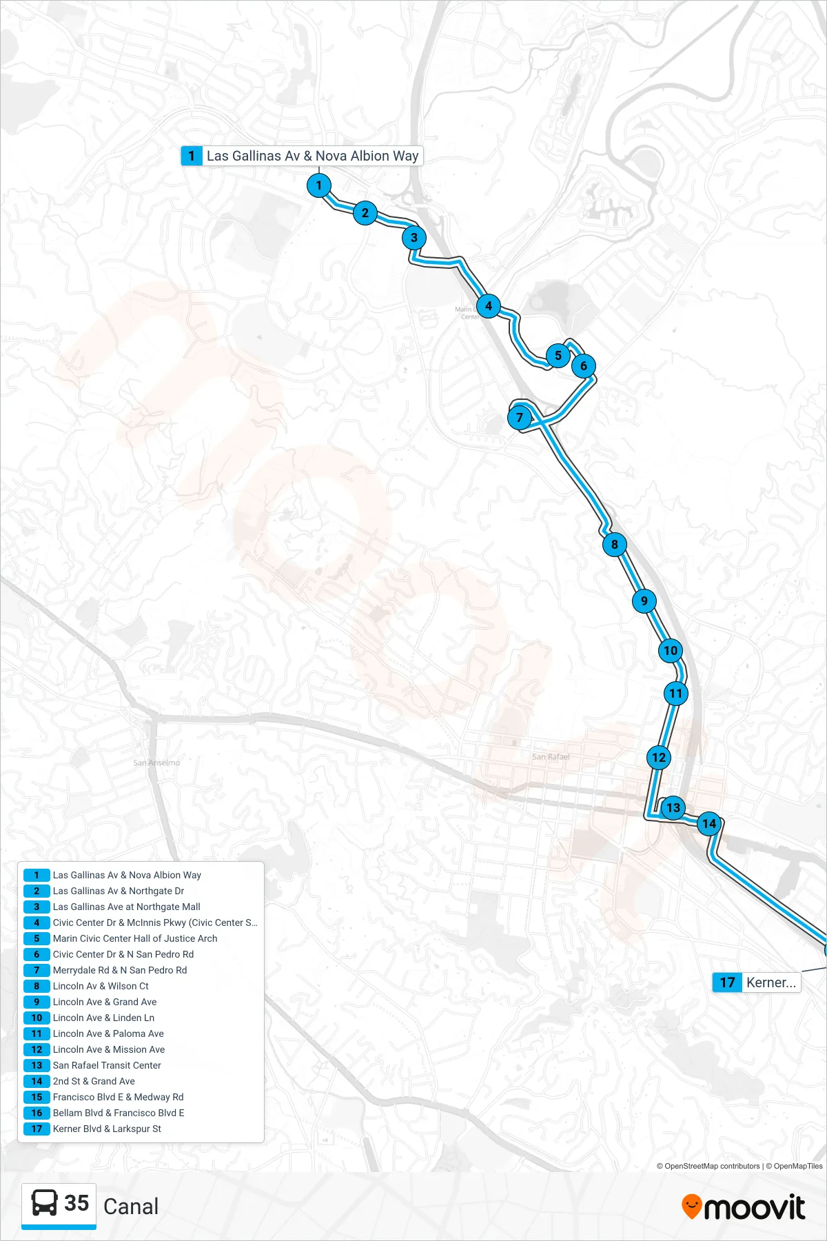
Stops list (35 - Canal)
- Las Gallinas Av & Nova Albion Way
- Las Gallinas Av & Northgate Dr
- Las Gallinas Ave at Northgate Mall
- Civic Center Dr & McInnis Pkwy (Civic Center SMART)
- Marin Civic Center Hall of Justice Arch
- Civic Center Dr & N San Pedro Rd
- Merrydale Rd & N San Pedro Rd
- Lincoln Av & Wilson Ct
- Lincoln Ave & Grand Ave
- Lincoln Ave & Linden Ln
- Lincoln Ave & Paloma Ave
- Lincoln Ave & Mission Ave
- San Rafael Transit Center
- 2nd St & Grand Ave
- Francisco Blvd E & Medway Rd
- Bellam Blvd & Francisco Blvd E
- Kerner Blvd & Larkspur St