
357 Bus Route Map
View the 357 route map and see all 357 stops along the route. The map of 357 shows where the bus travels and the location of each stop, making it easy to understand the entire route at a glance.
Explore Retter routes on the map and see where Retter bus services operate. Use the 357 map to find bus stops and see how the 357 connects different areas along its trip.
All 357 stops on the map are displayed in route order, helping you follow the 357 bus from the first stop to the last.
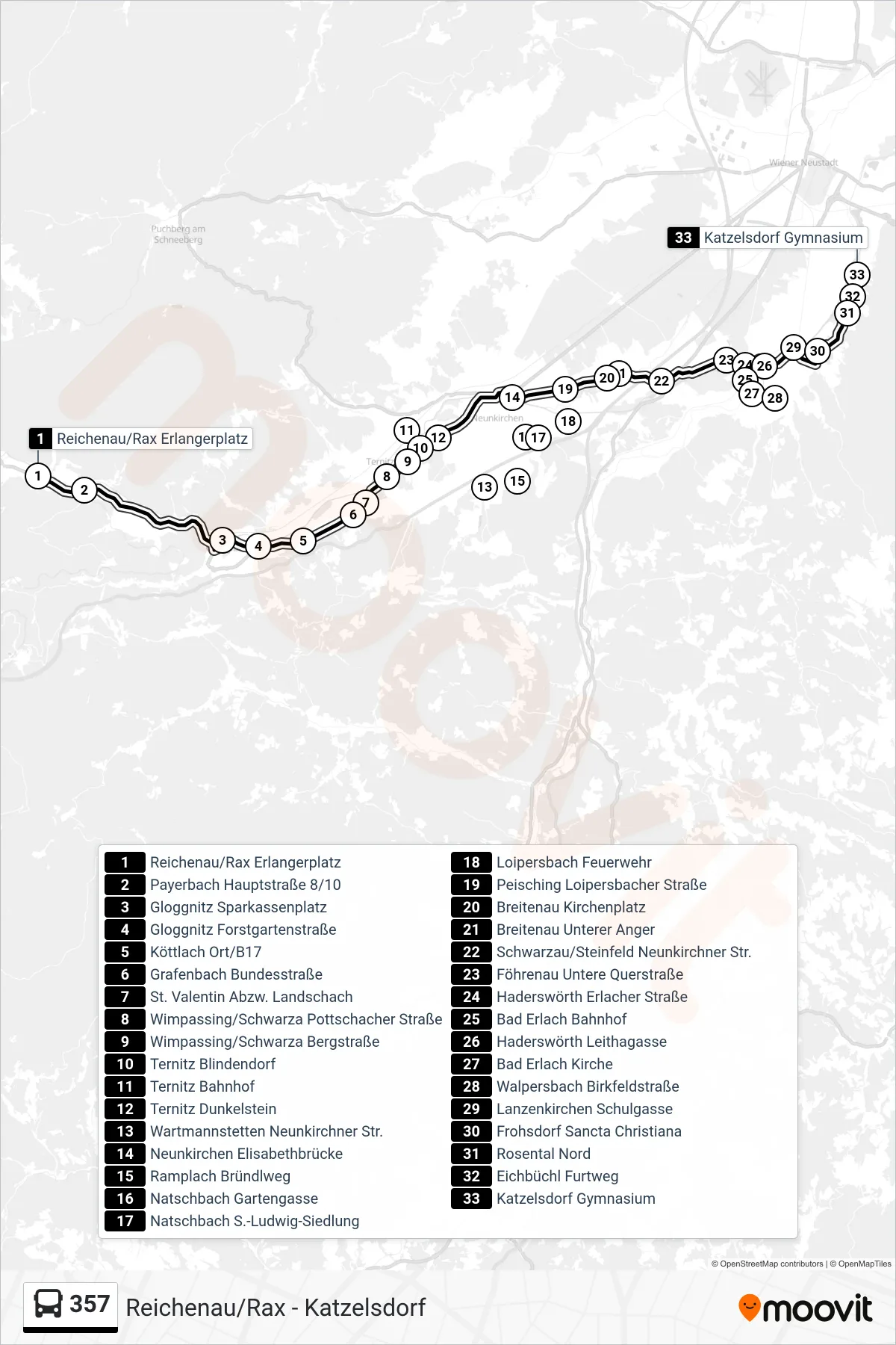
Stops list (357 - Katzelsdorf Gymnasium)
- Reichenau/Rax Erlangerplatz
- Payerbach Hauptstraße 8/10
- Gloggnitz Sparkassenplatz
- Gloggnitz Forstgartenstraße
- Köttlach Ort/B17
- Grafenbach Bundesstraße
- St. Valentin Abzw. Landschach
- Wimpassing/Schwarza Pottschacher Straße
- Wimpassing/Schwarza Bergstraße
- Ternitz Blindendorf
- Ternitz Bahnhof
- Ternitz Dunkelstein
- Wartmannstetten Neunkirchner Str.
- Neunkirchen Elisabethbrücke
- Ramplach Bründlweg
- Natschbach Gartengasse
- Natschbach S.-Ludwig-Siedlung
- Loipersbach Feuerwehr
- Peisching Loipersbacher Straße
- Breitenau Kirchenplatz
- Breitenau Unterer Anger
- Schwarzau/Steinfeld Neunkirchner Str.
- Föhrenau Untere Querstraße
- Haderswörth Erlacher Straße
- Bad Erlach Bahnhof
- Haderswörth Leithagasse
- Bad Erlach Kirche
- Walpersbach Birkfeldstraße
- Lanzenkirchen Schulgasse
- Frohsdorf Sancta Christiana
- Rosental Nord
- Eichbüchl Furtweg
- Katzelsdorf Gymnasium