
36 Bus Route Map
View the 36 route map and see all 36 stops along the route. The map of 36 shows where the bus travels and the location of each stop, making it easy to understand the entire route at a glance.
Explore Rhein-Neckar-Verkehr GmbH (rnv) routes on the map and see where Rhein-Neckar-Verkehr GmbH (rnv) bus services operate. Use the 36 map to find bus stops and see how the 36 connects different areas along its trip.
All 36 stops on the map are displayed in route order, helping you follow the 36 bus from the first stop to the last.
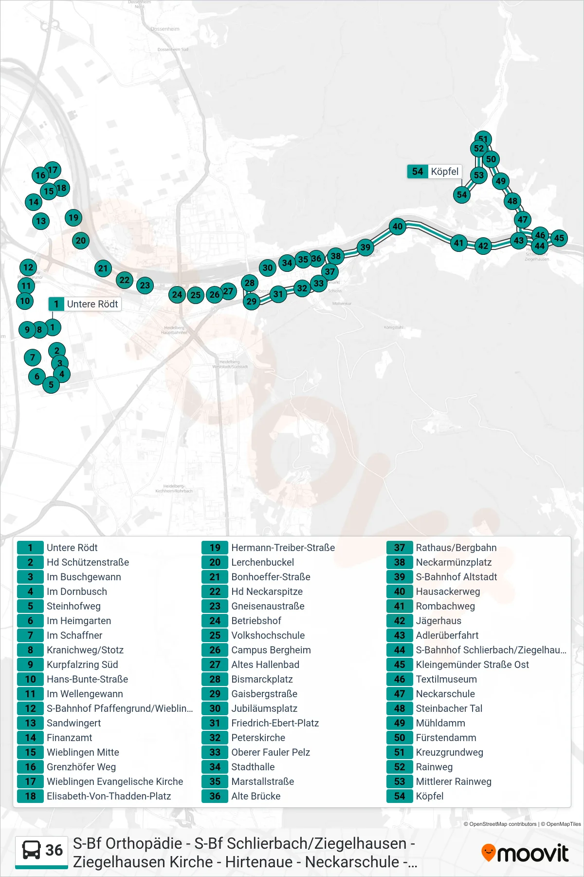
Stops list (36 - Ziegelhausen Köpfel)
- Untere Rödt
- Hd Schützenstraße
- Im Buschgewann
- Im Dornbusch
- Steinhofweg
- Im Heimgarten
- Im Schaffner
- Kranichweg/Stotz
- Kurpfalzring Süd
- Hans-Bunte-Straße
- Im Wellengewann
- S-Bahnhof Pfaffengrund/Wieblingen
- Sandwingert
- Finanzamt
- Wieblingen Mitte
- Grenzhöfer Weg
- Wieblingen Evangelische Kirche
- Elisabeth-Von-Thadden-Platz
- Hermann-Treiber-Straße
- Lerchenbuckel
- Bonhoeffer-Straße
- Hd Neckarspitze
- Gneisenaustraße
- Betriebshof
- Volkshochschule
- Campus Bergheim
- Altes Hallenbad
- Bismarckplatz
- Gaisbergstraße
- Jubiläumsplatz
- Friedrich-Ebert-Platz
- Peterskirche
- Oberer Fauler Pelz
- Stadthalle
- Marstallstraße
- Alte Brücke
- Rathaus/Bergbahn
- Neckarmünzplatz
- S-Bahnhof Altstadt
- Hausackerweg
- Rombachweg
- Jägerhaus
- Adlerüberfahrt
- S-Bahnhof Schlierbach/Ziegelhausen
- Kleingemünder Straße Ost
- Textilmuseum
- Neckarschule
- Steinbacher Tal
- Mühldamm
- Fürstendamm
- Kreuzgrundweg
- Rainweg
- Mittlerer Rainweg
- Köpfel