
360 Bus Route Map
View the 360 route map and see all 360 stops along the route. The map of 360 shows where the bus travels and the location of each stop, making it easy to understand the entire route at a glance.
Explore Verkehrsbetriebe Mittelrhein VREM routes on the map and see where Verkehrsbetriebe Mittelrhein VREM bus services operate. Use the 360 map to find bus stops and see how the 360 connects different areas along its trip.
All 360 stops on the map are displayed in route order, helping you follow the 360 bus from the first stop to the last.
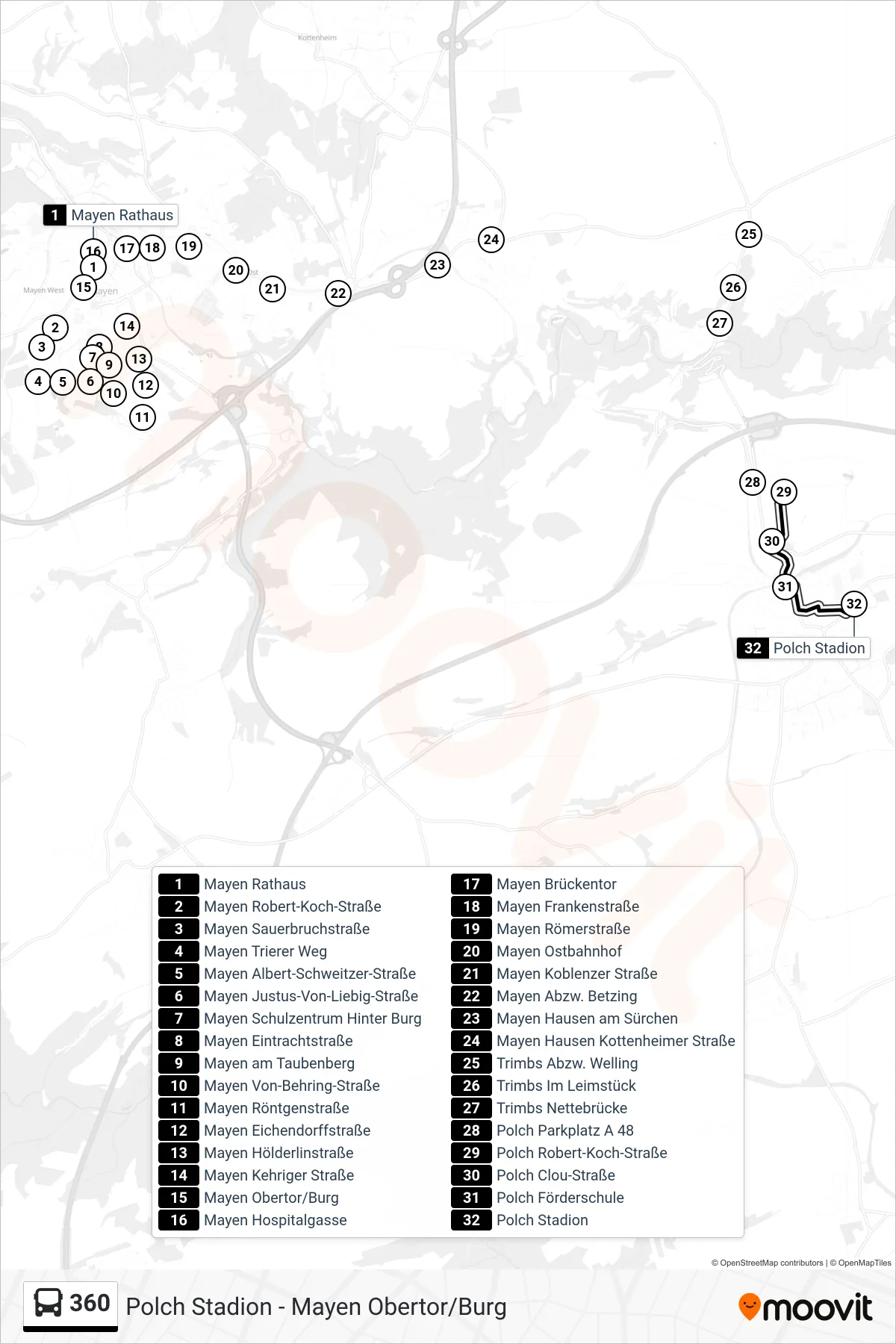
Stops list (360 - Polch Stadion)
- Mayen Rathaus
- Mayen Robert-Koch-Straße
- Mayen Sauerbruchstraße
- Mayen Trierer Weg
- Mayen Albert-Schweitzer-Straße
- Mayen Justus-Von-Liebig-Straße
- Mayen Schulzentrum Hinter Burg
- Mayen Eintrachtstraße
- Mayen am Taubenberg
- Mayen Von-Behring-Straße
- Mayen Röntgenstraße
- Mayen Eichendorffstraße
- Mayen Hölderlinstraße
- Mayen Kehriger Straße
- Mayen Obertor/Burg
- Mayen Hospitalgasse
- Mayen Brückentor
- Mayen Frankenstraße
- Mayen Römerstraße
- Mayen Ostbahnhof
- Mayen Koblenzer Straße
- Mayen Abzw. Betzing
- Mayen Hausen am Sürchen
- Mayen Hausen Kottenheimer Straße
- Trimbs Abzw. Welling
- Trimbs Im Leimstück
- Trimbs Nettebrücke
- Polch Parkplatz A 48
- Polch Robert-Koch-Straße
- Polch Clou-Straße
- Polch Förderschule
- Polch Stadion