
372 Bus Route Map
View the 372 route map and see all 372 stops along the route. The map of 372 shows where the bus travels and the location of each stop, making it easy to understand the entire route at a glance.
Explore BOGESTRA BUS routes on the map and see where BOGESTRA BUS bus services operate. Use the 372 map to find bus stops and see how the 372 connects different areas along its trip.
All 372 stops on the map are displayed in route order, helping you follow the 372 bus from the first stop to the last.
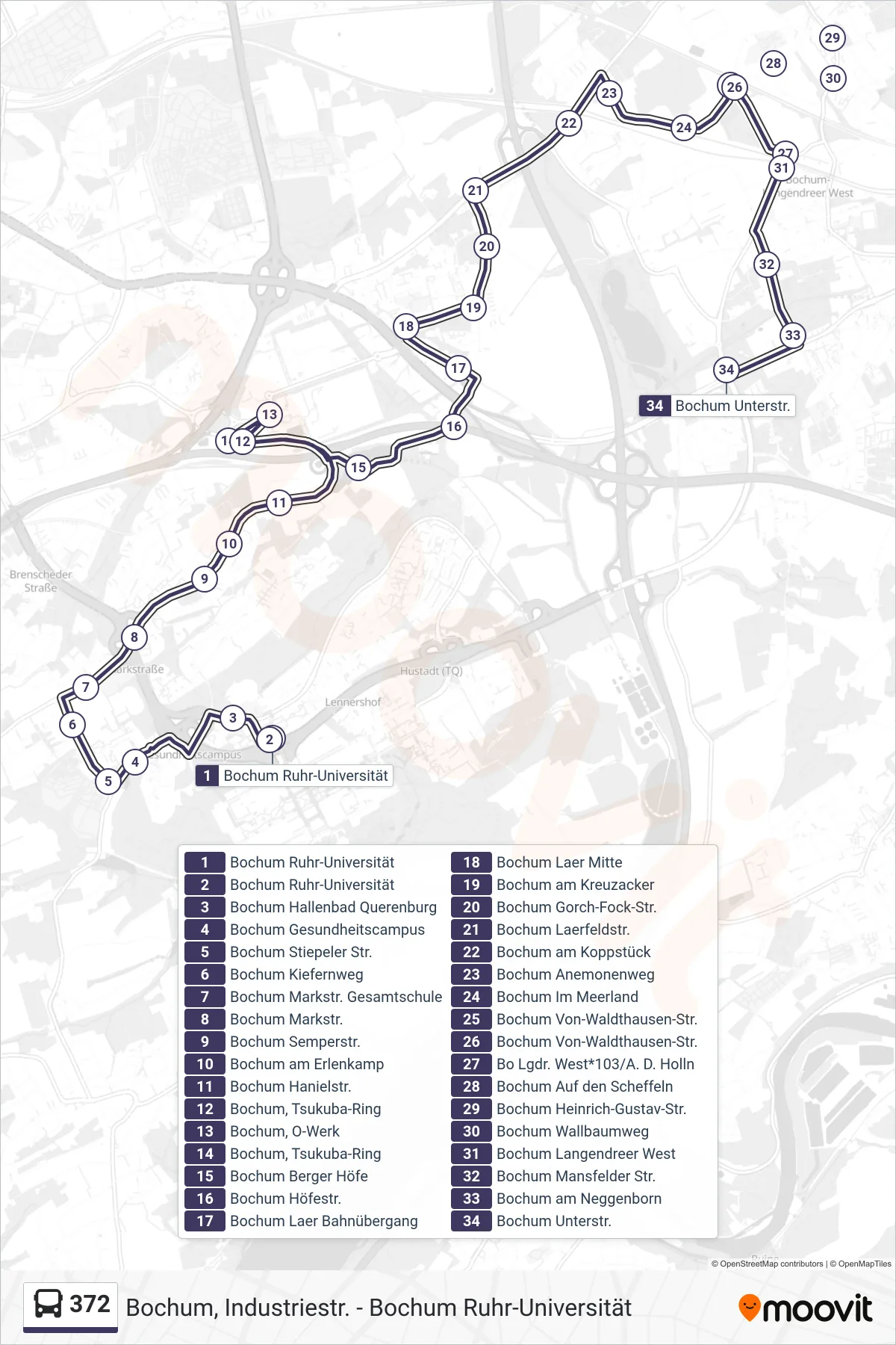
Stops list (372 - Bochum Unterstr.)
- Bochum Ruhr-Universität
- Bochum Ruhr-Universität
- Bochum Hallenbad Querenburg
- Bochum Gesundheitscampus
- Bochum Stiepeler Str.
- Bochum Kiefernweg
- Bochum Markstr. Gesamtschule
- Bochum Markstr.
- Bochum Semperstr.
- Bochum am Erlenkamp
- Bochum Hanielstr.
- Bochum, Tsukuba-Ring
- Bochum, O-Werk
- Bochum, Tsukuba-Ring
- Bochum Berger Höfe
- Bochum Höfestr.
- Bochum Laer Bahnübergang
- Bochum Laer Mitte
- Bochum am Kreuzacker
- Bochum Gorch-Fock-Str.
- Bochum Laerfeldstr.
- Bochum am Koppstück
- Bochum Anemonenweg
- Bochum Im Meerland
- Bochum Von-Waldthausen-Str.
- Bochum Von-Waldthausen-Str.
- Bo Lgdr. West*103/A. D. Holln
- Bochum Auf den Scheffeln
- Bochum Heinrich-Gustav-Str.
- Bochum Wallbaumweg
- Bochum Langendreer West
- Bochum Mansfelder Str.
- Bochum am Neggenborn
- Bochum Unterstr.