
38 Bus Route Map
View the 38 route map and see all 38 stops along the route. The map of 38 shows where the bus travels and the location of each stop, making it easy to understand the entire route at a glance.
Explore GTT Urban Service routes on the map and see where GTT Urban Service bus services operate. Use the 38 map to find bus stops and see how the 38 connects different areas along its trip.
All 38 stops on the map are displayed in route order, helping you follow the 38 bus from the first stop to the last.
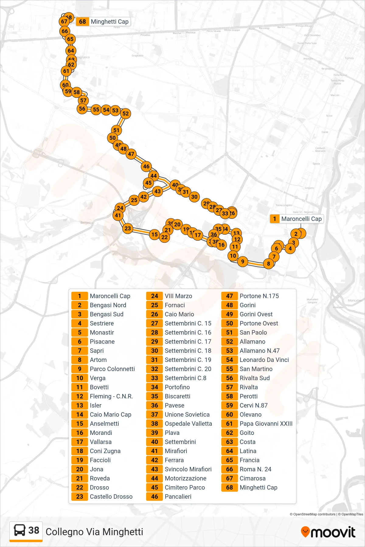

Stops list (38 - Collegno Via Minghetti)
- Maroncelli Terminal
- Bengasi North
- Bengasi South
- Sestriere
- Monastir
- Pisacane
- Sapri
- Artom
- Colonnetti Park
- Verga
- Bovetti
- Fleming - CNR
- Isler
- Caio Mario Terminal
- Anselmetti
- Morandi
- Vallarsa
- Coni Zugna
- Faccioli
- Jona
- Roveda
- Drosso
- Castello Drosso
- 8th March
- Furnaces
- Caio Mario
- Settembrini No. 15
- Settembrini No. 16
- Settembrini No. 17
- Settembrini No. 18
- Settembrini No. 19
- Settembrini Street 20
- Settembrini C.8
- Portofino
- Biscaretti
- Pavese
- Soviet Union
- Valletta Hospital
- Blue Street
- Settembrini
- Mirafiori
- Ferrara
- Mirafiori Junction
- Motor Vehicle Department
- Park Cemetery
- Pancalieri
- Gate No.175
- Gorini
- Gorini West
- Portone West
- San Paolo
- Allamano
- Allamano N.47
- Leonardo Da Vinci
- San Martino
- Rivalta South
- Rivalta
- Perotti
- Cervi No. 87
- Olevano
- Pope John XXIII
- Goito
- Costa
- Latina
- Francia
- Roma No. 24
- Cimarosa
- Minghetti Terminal