
389 Bus Route Map
View the 389 route map and see all 389 stops along the route. The map of 389 shows where the bus travels and the location of each stop, making it easy to understand the entire route at a glance.
Explore BOGESTRA BUS routes on the map and see where BOGESTRA BUS bus services operate. Use the 389 map to find bus stops and see how the 389 connects different areas along its trip.
All 389 stops on the map are displayed in route order, helping you follow the 389 bus from the first stop to the last.
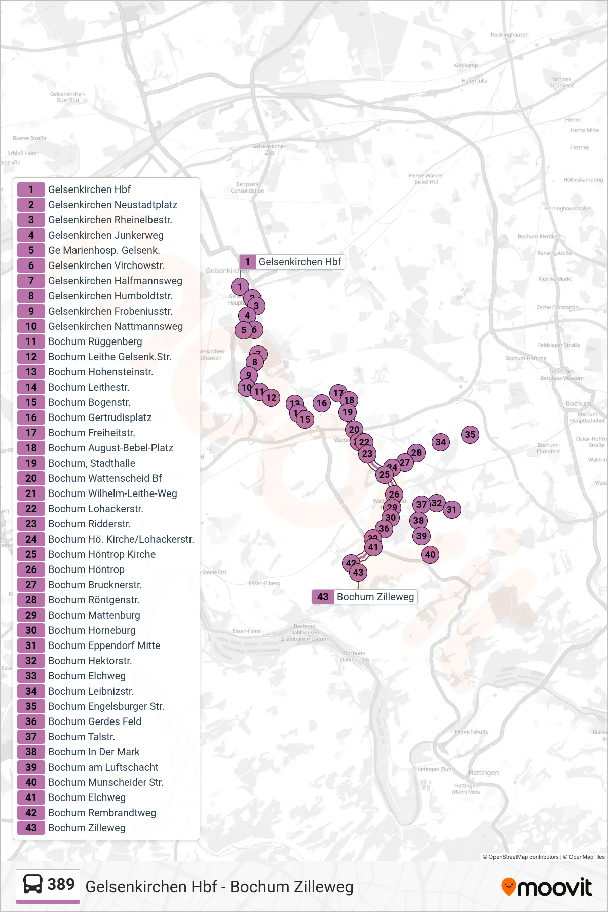
Stops list (389 - Bochum Zilleweg)
- Gelsenkirchen Hbf
- Gelsenkirchen Neustadtplatz
- Gelsenkirchen Rheinelbestr.
- Gelsenkirchen Junkerweg
- Ge Marienhosp. Gelsenk.
- Gelsenkirchen Virchowstr.
- Gelsenkirchen Halfmannsweg
- Gelsenkirchen Humboldtstr.
- Gelsenkirchen Frobeniusstr.
- Gelsenkirchen Nattmannsweg
- Bochum Rüggenberg
- Bochum Leithe Gelsenk.Str.
- Bochum Hohensteinstr.
- Bochum Leithestr.
- Bochum Bogenstr.
- Bochum Gertrudisplatz
- Bochum Freiheitstr.
- Bochum August-Bebel-Platz
- Bochum, Stadthalle
- Bochum Wattenscheid Bf
- Bochum Wilhelm-Leithe-Weg
- Bochum Lohackerstr.
- Bochum Ridderstr.
- Bochum Hö. Kirche/Lohackerstr.
- Bochum Höntrop Kirche
- Bochum Höntrop
- Bochum Brucknerstr.
- Bochum Röntgenstr.
- Bochum Mattenburg
- Bochum Horneburg
- Bochum Eppendorf Mitte
- Bochum Hektorstr.
- Bochum Elchweg
- Bochum Leibnizstr.
- Bochum Engelsburger Str.
- Bochum Gerdes Feld
- Bochum Talstr.
- Bochum In Der Mark
- Bochum am Luftschacht
- Bochum Munscheider Str.
- Bochum Elchweg
- Bochum Rembrandtweg
- Bochum Zilleweg