
4 Bus Route Map
View the 4 route map and see all 4 stops along the route. The map of 4 shows where the bus travels and the location of each stop, making it easy to understand the entire route at a glance.
Explore Midttrafik routes on the map and see where Midttrafik bus services operate. Use the 4 map to find bus stops and see how the 4 connects different areas along its trip.
All 4 stops on the map are displayed in route order, helping you follow the 4 bus from the first stop to the last.
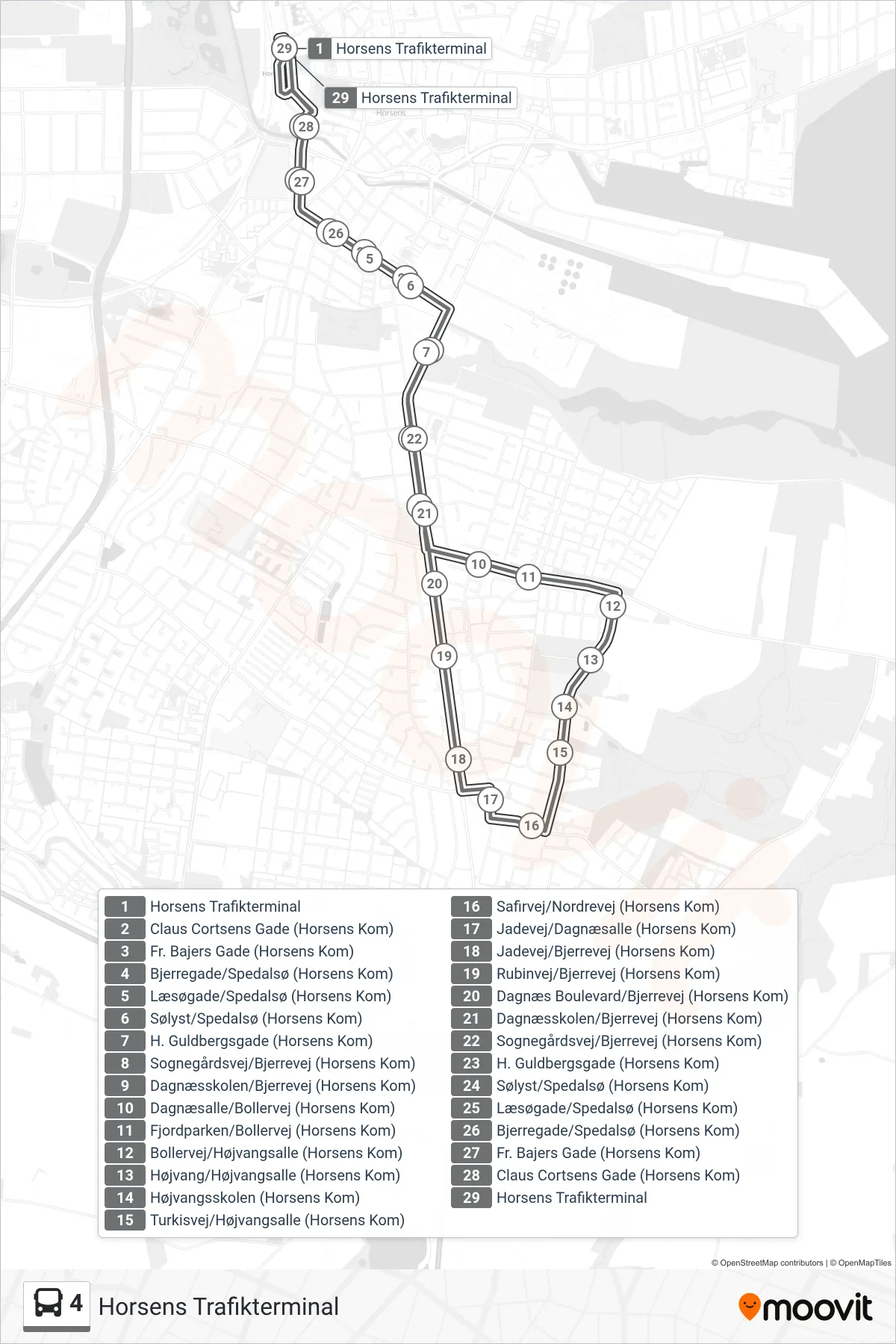
Stops list (4 - Horsens Trafikterminal)
- Horsens Trafikterminal
- Claus Cortsens Gade (Horsens Kom)
- Fr. Bajers Gade (Horsens Kom)
- Bjerregade/Spedalsø (Horsens Kom)
- Læsøgade/Spedalsø (Horsens Kom)
- Sølyst/Spedalsø (Horsens Kom)
- H. Guldbergsgade (Horsens Kom)
- Sognegårdsvej/Bjerrevej (Horsens Kom)
- Dagnæsskolen/Bjerrevej (Horsens Kom)
- Dagnæsalle/Bollervej (Horsens Kom)
- Fjordparken/Bollervej (Horsens Kom)
- Bollervej/Højvangsalle (Horsens Kom)
- Højvang/Højvangsalle (Horsens Kom)
- Højvangsskolen (Horsens Kom)
- Turkisvej/Højvangsalle (Horsens Kom)
- Safirvej/Nordrevej (Horsens Kom)
- Jadevej/Dagnæsalle (Horsens Kom)
- Jadevej/Bjerrevej (Horsens Kom)
- Rubinvej/Bjerrevej (Horsens Kom)
- Dagnæs Boulevard/Bjerrevej (Horsens Kom)
- Dagnæsskolen/Bjerrevej (Horsens Kom)
- Sognegårdsvej/Bjerrevej (Horsens Kom)
- H. Guldbergsgade (Horsens Kom)
- Sølyst/Spedalsø (Horsens Kom)
- Læsøgade/Spedalsø (Horsens Kom)
- Bjerregade/Spedalsø (Horsens Kom)
- Fr. Bajers Gade (Horsens Kom)
- Claus Cortsens Gade (Horsens Kom)
- Horsens Trafikterminal