
4 Bus Route Map
View the 4 route map and see all 4 stops along the route. The map of 4 shows where the bus travels and the location of each stop, making it easy to understand the entire route at a glance.
Explore Bus Átha Cliath – Dublin Bus routes on the map and see where Bus Átha Cliath – Dublin Bus bus services operate. Use the 4 map to find bus stops and see how the 4 connects different areas along its trip.
All 4 stops on the map are displayed in route order, helping you follow the 4 bus from the first stop to the last.
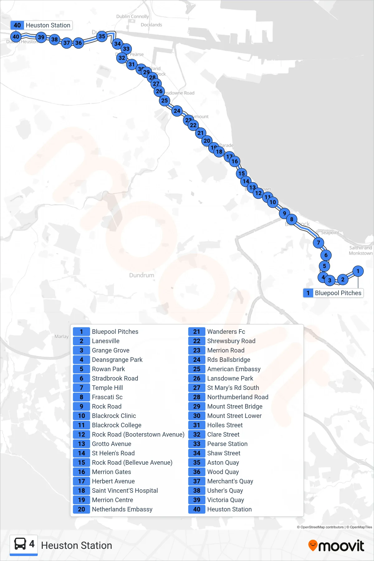
Stops list (4 - Heuston Station)
- Bluepool Pitches
- Lanesville
- Grange Grove
- Deansgrange Park
- Rowan Park
- Stradbrook Road
- Temple Hill
- Frascati Sc
- Rock Road
- Blackrock Clinic
- Blackrock College
- Rock Road (Booterstown Avenue)
- Grotto Avenue
- St Helen's Road
- Rock Road (Bellevue Avenue)
- Merrion Gates
- Herbert Avenue
- Saint Vincent'S Hospital
- Merrion Centre
- Netherlands Embassy
- Wanderers Fc
- Shrewsbury Road
- Merrion Road
- Rds Ballsbridge
- American Embassy
- Lansdowne Park
- St Mary's Rd South
- Northumberland Road
- Mount Street Bridge
- Mount Street Lower
- Holles Street
- Clare Street
- Pearse Station
- Shaw Street
- Aston Quay
- Wood Quay
- Merchant's Quay
- Usher's Quay
- Victoria Quay
- Heuston Station