
4 Light Rail Route Map
View the 4 route map and see all 4 stops along the route. The map of 4 shows where the light rail travels and the location of each stop, making it easy to understand the entire route at a glance.
Explore RET routes on the map and see where RET light rail services operate. Use the 4 map to find light rail stations and see how the 4 connects different areas along its trip.
All 4 stops on the map are displayed in route order, helping you follow the 4 light rail from the first station to the last.
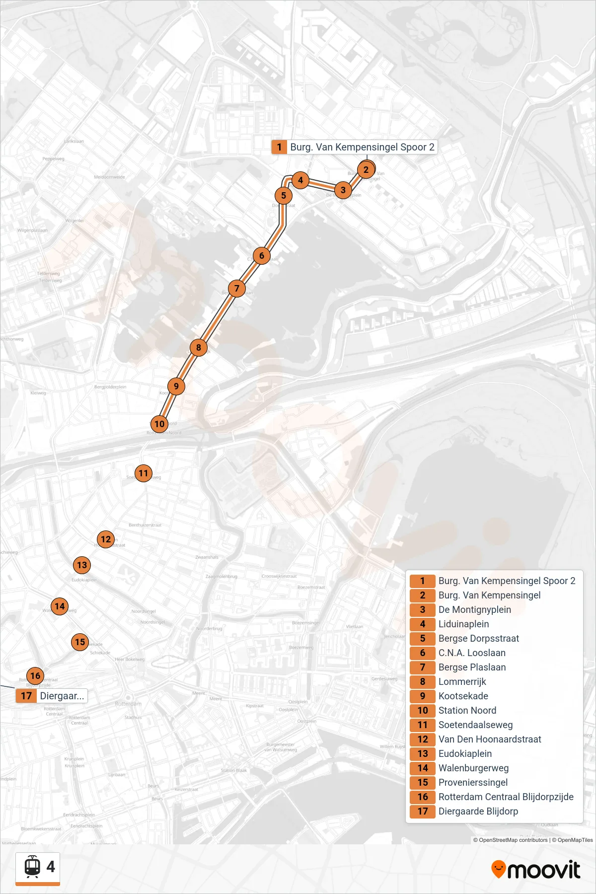

Stops list (4 - Marconiplein)
- Burg. Van Kempensingel Spoor 2
- Burg. Van Kempensingel
- De Montignyplein
- Liduinaplein
- Bergse Dorpsstraat
- C.N.A. Looslaan
- Bergse Plaslaan
- Lommerrijk
- Kootsekade
- Station Noord
- Soetendaalseweg
- Van Den Hoonaardstraat
- Eudokiaplein
- Walenburgerweg
- Provenierssingel
- Rotterdam Centraal Blijdorpzijde
- Diergaarde Blijdorp