
4 Bus Route Map
View the 4 route map and see all 4 stops along the route. The map of 4 shows where the bus travels and the location of each stop, making it easy to understand the entire route at a glance.
Explore RTC RIDE routes on the map and see where RTC RIDE bus services operate. Use the 4 map to find bus stops and see how the 4 connects different areas along its trip.
All 4 stops on the map are displayed in route order, helping you follow the 4 bus from the first stop to the last.
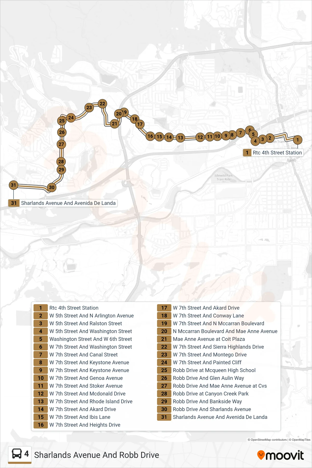
Stops list (4 - Sharlands Avenue And Robb Drive)
- Rtc 4th Street Station
- W 5th Street And N Arlington Avenue
- W 5th Street And Ralston Street
- W 5th Street And Washington Street
- Washington Street And W 6th Street
- W 7th Street And Washington Street
- W 7th Street And Canal Street
- W 7th Street And Keystone Avenue
- W 7th Street And Keystone Avenue
- W 7th Street And Genoa Avenue
- W 7th Street And Stoker Avenue
- W 7th Street And Mcdonald Drive
- W 7th Street And Rhode Island Drive
- W 7th Street And Akard Drive
- W 7th Street And Ibis Lane
- W 7th Street And Heights Drive
- W 7th Street And Akard Drive
- W 7th Street And Conway Lane
- W 7th Street And N Mccarran Boulevard
- N Mccarran Boulevard And Mae Anne Avenue
- Mae Anne Avenue at Coit Plaza
- W 7th Street And Sierra Highlands Drive
- W 7th Street And Montego Drive
- W 7th Street And Painted Cliff
- Robb Drive at Mcqueen High School
- Robb Drive And Glen Aulin Way
- Robb Drive And Mae Anne Avenue at Cvs
- Robb Drive at Canyon Creek Park
- Robb Drive And Bankside Way
- Robb Drive And Sharlands Avenue
- Sharlands Avenue And Avenida De Landa