
4 Bus Route Map
View the 4 route map and see all 4 stops along the route. The map of 4 shows where the bus travels and the location of each stop, making it easy to understand the entire route at a glance.
Explore Niederrheinische VKB routes on the map and see where Niederrheinische VKB bus services operate. Use the 4 map to find bus stops and see how the 4 connects different areas along its trip.
All 4 stops on the map are displayed in route order, helping you follow the 4 bus from the first stop to the last.
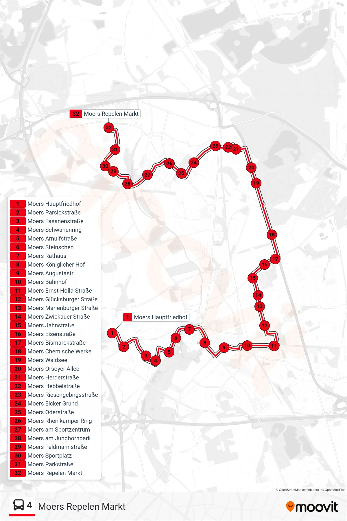
Stops list (4 - Moers Repelen Markt)
- Moers Hauptfriedhof
- Moers Parsickstraße
- Moers Fasanenstraße
- Moers Schwanenring
- Moers Arnulfstraße
- Moers Steinschen
- Moers Rathaus
- Moers Königlicher Hof
- Moers Augustastr.
- Moers Bahnhof
- Moers Ernst-Holla-Straße
- Moers Glücksburger Straße
- Moers Marienburger Straße
- Moers Zwickauer Straße
- Moers Jahnstraße
- Moers Eisenstraße
- Moers Bismarckstraße
- Moers Chemische Werke
- Moers Waldsee
- Moers Orsoyer Allee
- Moers Herderstraße
- Moers Hebbelstraße
- Moers Riesengebirgsstraße
- Moers Eicker Grund
- Moers Oderstraße
- Moers Rheinkamper Ring
- Moers am Sportzentrum
- Moers am Jungbornpark
- Moers Feldmannstraße
- Moers Sportplatz
- Moers Parkstraße
- Moers Repelen Markt