
4 Bus Route Map
View the 4 route map and see all 4 stops along the route. The map of 4 shows where the bus travels and the location of each stop, making it easy to understand the entire route at a glance.
Explore City Transport AD routes on the map and see where City Transport AD bus services operate. Use the 4 map to find bus stops and see how the 4 connects different areas along its trip.
All 4 stops on the map are displayed in route order, helping you follow the 4 bus from the first stop to the last.
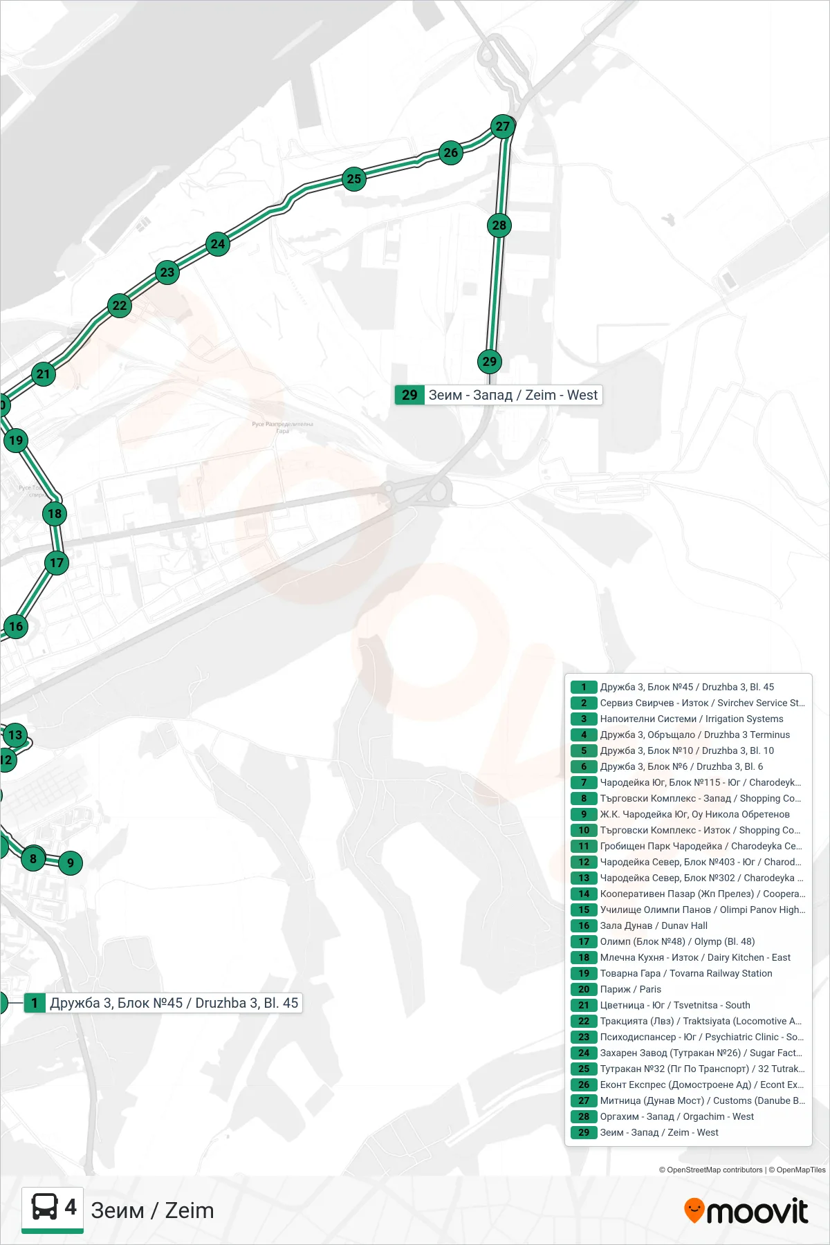
Stops list (4 - Zeim)
- Druzhba 3, Block 45
- Svirchev Service Station - East
- Irrigation Systems
- Druzhba 3 Terminus
- Druzhba 3, Block 10
- Druzhba 3, Bl. 6
- Charodeyka South, Block 115 - South
- Shopping Complex - West
- Charodeyka South District, Nikola Obretenov School
- Shopping Complex - East
- Charodeyka Cemetery
- Charodeyka North, Bl. 403 - South
- Charodeyka North, Block 302
- Cooperative Market (Railway Crossing)
- Olimpi Panov High School
- Dunav Hall
- Olymp (Bl. 48)
- Dairy Kitchen - East
- Tovarna Railway Station
- Paris
- Tsvetnitsa - South
- Traktsiyata (Locomotive and Wagon Factory)
- Psychiatric Clinic - South
- Sugar Factory (26 Tutrakan Boulevard)
- 32 Tutrakan Boulevard (Vocational School Of Transport)
- Econt Express (Domostroene AD)
- Customs (Danube Bridge)
- Orgachim - West
- Zeim - West