
4 Bus Route Map
View the 4 route map and see all 4 stops along the route. The map of 4 shows where the bus travels and the location of each stop, making it easy to understand the entire route at a glance.
Explore STA routes on the map and see where STA bus services operate. Use the 4 map to find bus stops and see how the 4 connects different areas along its trip.
All 4 stops on the map are displayed in route order, helping you follow the 4 bus from the first stop to the last.
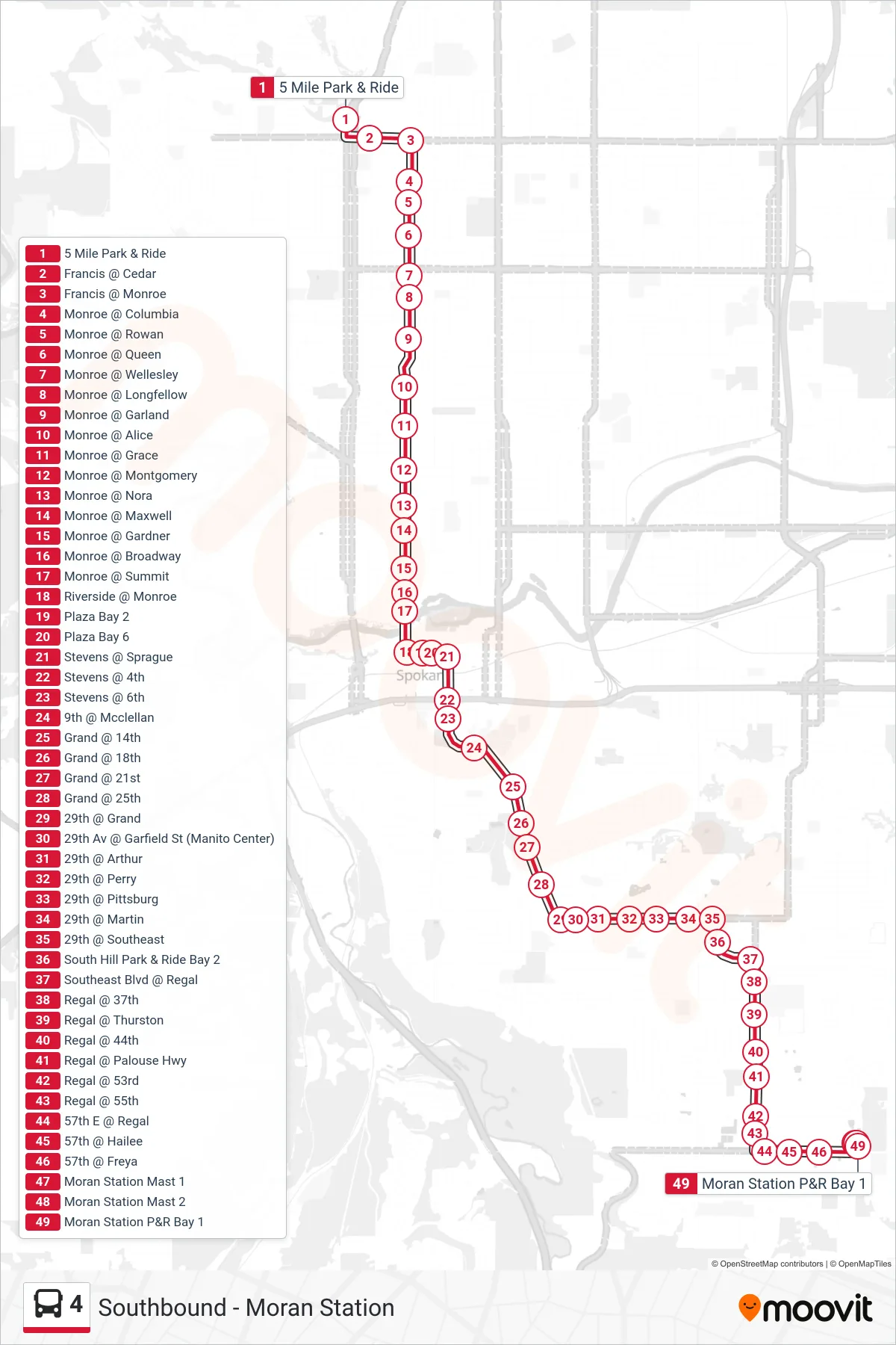
Stops list (4 - Southbound - Moran Station)
- 5 Mile Park & Ride
- Francis @ Cedar
- Francis @ Monroe
- Monroe @ Columbia
- Monroe @ Rowan
- Monroe @ Queen
- Monroe @ Wellesley
- Monroe @ Longfellow
- Monroe @ Garland
- Monroe @ Alice
- Monroe @ Grace
- Monroe @ Montgomery
- Monroe @ Nora
- Monroe @ Maxwell
- Monroe @ Gardner
- Monroe @ Broadway
- Monroe @ Summit
- Riverside @ Monroe
- Plaza Bay 2
- Plaza Bay 6
- Stevens @ Sprague
- Stevens @ 4th
- Stevens @ 6th
- 9th @ Mcclellan
- Grand @ 14th
- Grand @ 18th
- Grand @ 21st
- Grand @ 25th
- 29th @ Grand
- 29th Av @ Garfield St (Manito Center)
- 29th @ Arthur
- 29th @ Perry
- 29th @ Pittsburg
- 29th @ Martin
- 29th @ Southeast
- South Hill Park & Ride Bay 2
- Southeast Blvd @ Regal
- Regal @ 37th
- Regal @ Thurston
- Regal @ 44th
- Regal @ Palouse Hwy
- Regal @ 53rd
- Regal @ 55th
- 57th E @ Regal
- 57th @ Hailee
- 57th @ Freya
- Moran Station Mast 1
- Moran Station Mast 2
- Moran Station P&R Bay 1