
40 Bus Route Map
View the 40 route map and see all 40 stops along the route. The map of 40 shows where the bus travels and the location of each stop, making it easy to understand the entire route at a glance.
Explore The S routes on the map and see where The S bus services operate. Use the 40 map to find bus stops and see how the 40 connects different areas along its trip.
All 40 stops on the map are displayed in route order, helping you follow the 40 bus from the first stop to the last.
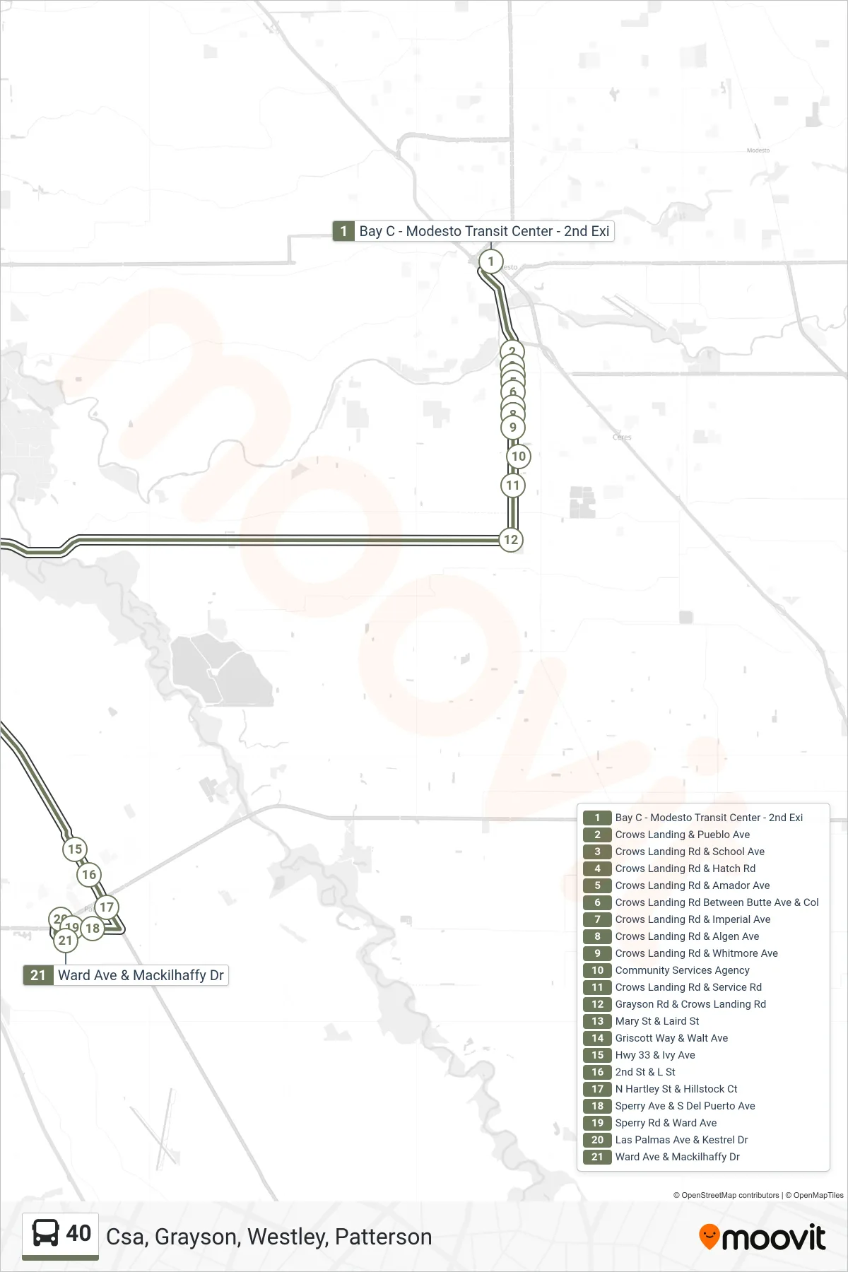
Stops list (40 - Csa, Grayson, Westley, Patterson)
- Bay C - Modesto Transit Center - 2nd Exi
- Crows Landing & Pueblo Ave
- Crows Landing Rd & School Ave
- Crows Landing Rd & Hatch Rd
- Crows Landing Rd & Amador Ave
- Crows Landing Rd Between Butte Ave & Col
- Crows Landing Rd & Imperial Ave
- Crows Landing Rd & Algen Ave
- Crows Landing Rd & Whitmore Ave
- Community Services Agency
- Crows Landing Rd & Service Rd
- Grayson Rd & Crows Landing Rd
- Mary St & Laird St
- Griscott Way & Walt Ave
- Hwy 33 & Ivy Ave
- 2nd St & L St
- N Hartley St & Hillstock Ct
- Sperry Ave & S Del Puerto Ave
- Sperry Rd & Ward Ave
- Las Palmas Ave & Kestrel Dr
- Ward Ave & Mackilhaffy Dr