
40 Bus Route Map
View the 40 route map and see all 40 stops along the route. The map of 40 shows where the bus travels and the location of each stop, making it easy to understand the entire route at a glance.
Explore Pittsburgh Regional Transit routes on the map and see where Pittsburgh Regional Transit bus services operate. Use the 40 map to find bus stops and see how the 40 connects different areas along its trip.
All 40 stops on the map are displayed in route order, helping you follow the 40 bus from the first stop to the last.
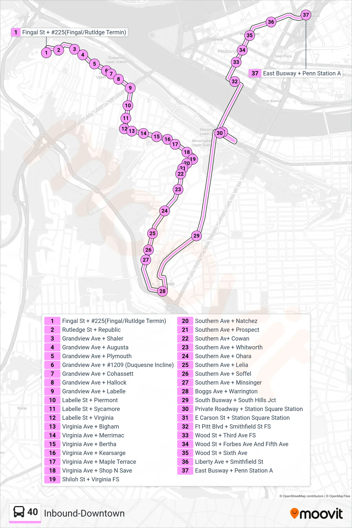

Stops list (40 - Inbound-Downtown)
- Fingal St + #225(Fingal/Rutldge Termin)
- Rutledge St + Republic
- Grandview Ave + Shaler
- Grandview Ave + Augusta
- Grandview Ave + Plymouth
- Grandview Ave + #1209 (Duquesne Incline)
- Grandview Ave + Cohassett
- Grandview Ave + Hallock
- Grandview Ave + Labelle
- Labelle St + Piermont
- Labelle St + Sycamore
- Labelle St + Virginia
- Virginia Ave + Bigham
- Virginia Ave + Merrimac
- Virginia Ave + Bertha
- Virginia Ave + Kearsarge
- Virginia Ave + Maple Terrace
- Virginia Ave + Shop N Save
- Shiloh St + Virginia FS
- Southern Ave + Natchez
- Southern Ave + Prospect
- Southern Av+ Cowan
- Southern Ave + Whitworth
- Southern Ave + Ohara
- Southern Ave + Lelia
- Southern Ave + Soffel
- Southern Ave + Minsinger
- Boggs Ave + Warrington
- South Busway + South Hills Jct
- Private Roadway + Station Square Station
- E Carson St + Station Square Station
- Ft Pitt Blvd + Smithfield St FS
- Wood St + Third Ave FS
- Wood St + Forbes Ave And Fifth Ave
- Wood St + Sixth Ave
- Liberty Ave + Smithfield St
- East Busway + Penn Station A