
40 Bus Route Map
View the 40 route map and see all 40 stops along the route. The map of 40 shows where the bus travels and the location of each stop, making it easy to understand the entire route at a glance.
Explore Montgomery County Ride On routes on the map and see where Montgomery County Ride On bus services operate. Use the 40 map to find bus stops and see how the 40 connects different areas along its trip.
All 40 stops on the map are displayed in route order, helping you follow the 40 bus from the first stop to the last.
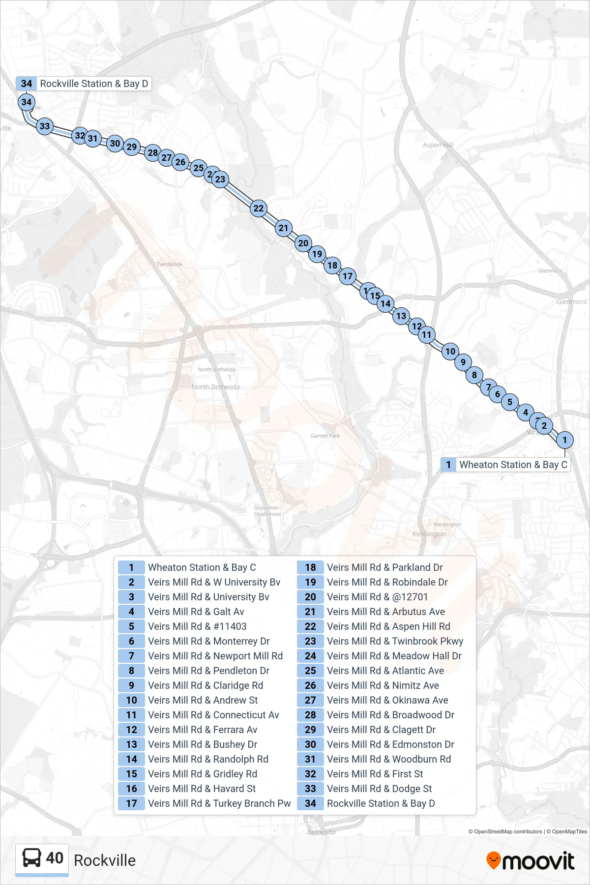
Stops list (40 - Rockville)
- Wheaton Station & Bay C
- Veirs Mill Rd & W University Bv
- Veirs Mill Rd & University Bv
- Veirs Mill Rd & Galt Av
- Veirs Mill Rd & #11403
- Veirs Mill Rd & Monterrey Dr
- Veirs Mill Rd & Newport Mill Rd
- Veirs Mill Rd & Pendleton Dr
- Veirs Mill Rd & Claridge Rd
- Veirs Mill Rd & Andrew St
- Veirs Mill Rd & Connecticut Av
- Veirs Mill Rd & Ferrara Av
- Veirs Mill Rd & Bushey Dr
- Veirs Mill Rd & Randolph Rd
- Veirs Mill Rd & Gridley Rd
- Veirs Mill Rd & Havard St
- Veirs Mill Rd & Turkey Branch Pw
- Veirs Mill Rd & Parkland Dr
- Veirs Mill Rd & Robindale Dr
- Veirs Mill Rd & @12701
- Veirs Mill Rd & Arbutus Ave
- Veirs Mill Rd & Aspen Hill Rd
- Veirs Mill Rd & Twinbrook Pkwy
- Veirs Mill Rd & Meadow Hall Dr
- Veirs Mill Rd & Atlantic Ave
- Veirs Mill Rd & Nimitz Ave
- Veirs Mill Rd & Okinawa Ave
- Veirs Mill Rd & Broadwood Dr
- Veirs Mill Rd & Clagett Dr
- Veirs Mill Rd & Edmonston Dr
- Veirs Mill Rd & Woodburn Rd
- Veirs Mill Rd & First St
- Veirs Mill Rd & Dodge St
- Rockville Station & Bay D