
42 Bus Route Map
View the 42 route map and see all 42 stops along the route. The map of 42 shows where the bus travels and the location of each stop, making it easy to understand the entire route at a glance.
Explore Stadtwerke Heilbronn - Verkehrsbetriebe routes on the map and see where Stadtwerke Heilbronn - Verkehrsbetriebe bus services operate. Use the 42 map to find bus stops and see how the 42 connects different areas along its trip.
All 42 stops on the map are displayed in route order, helping you follow the 42 bus from the first stop to the last.
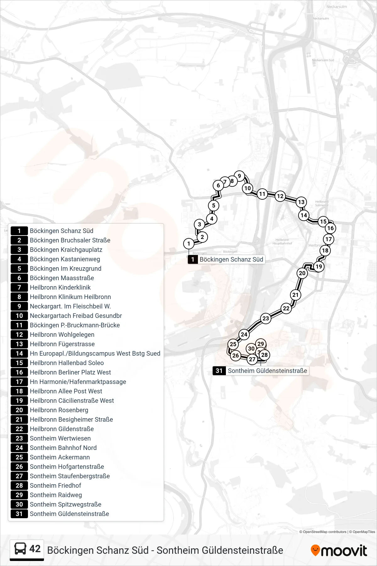
Stops list (42 - Sontheim Güldensteinstraße)
- Böckingen Schanz Süd
- Böckingen Bruchsaler Straße
- Böckingen Kraichgauplatz
- Böckingen Kastanienweg
- Böckingen Im Kreuzgrund
- Böckingen Maasstraße
- Heilbronn Kinderklinik
- Heilbronn Klinikum Heilbronn
- Neckargart. Im Fleischbeil W.
- Neckargartach Freibad Gesundbr
- Böckingen P.-Bruckmann-Brücke
- Heilbronn Wohlgelegen
- Heilbronn Fügerstrasse
- Hn Europapl./Bildungscampus West Bstg Sued
- Heilbronn Hallenbad Soleo
- Heilbronn Berliner Platz West
- Hn Harmonie/Hafenmarktpassage
- Heilbronn Allee Post West
- Heilbronn Cäcilienstraße West
- Heilbronn Rosenberg
- Heilbronn Besigheimer Straße
- Heilbronn Gildenstraße
- Sontheim Wertwiesen
- Sontheim Bahnhof Nord
- Sontheim Ackermann
- Sontheim Hofgartenstraße
- Sontheim Staufenbergstraße
- Sontheim Friedhof
- Sontheim Raidweg
- Sontheim Spitzwegstraße
- Sontheim Güldensteinstraße