
436 Bus Route Map
View the 436 route map and see all 436 stops along the route. The map of 436 shows where the bus travels and the location of each stop, making it easy to understand the entire route at a glance.
Explore DSW Bus routes on the map and see where DSW Bus bus services operate. Use the 436 map to find bus stops and see how the 436 connects different areas along its trip.
All 436 stops on the map are displayed in route order, helping you follow the 436 bus from the first stop to the last.
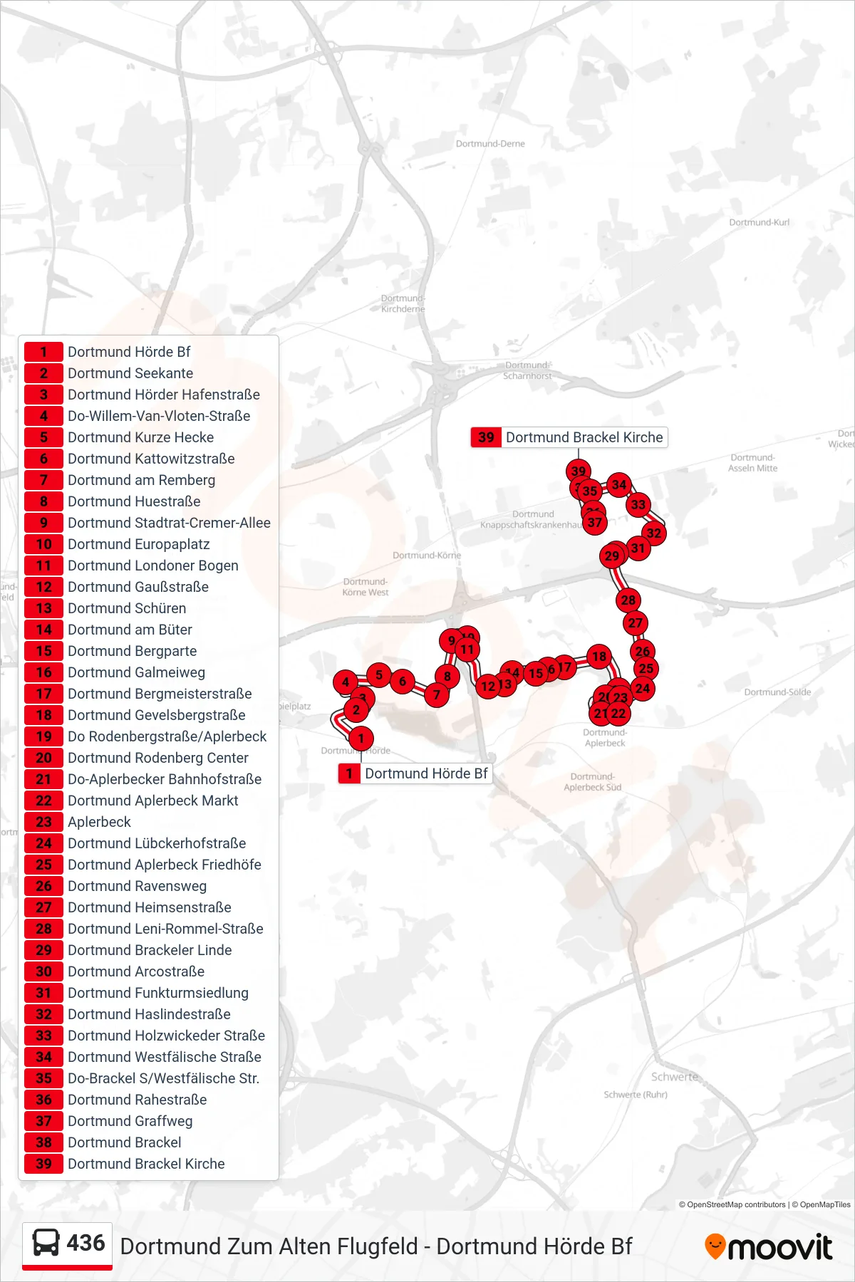
Stops list (436 - Dortmund Brackel Kirche)
- Dortmund Hörde Bf
- Dortmund Seekante
- Dortmund Hörder Hafenstraße
- Do-Willem-Van-Vloten-Straße
- Dortmund Kurze Hecke
- Dortmund Kattowitzstraße
- Dortmund am Remberg
- Dortmund Huestraße
- Dortmund Stadtrat-Cremer-Allee
- Dortmund Europaplatz
- Dortmund Londoner Bogen
- Dortmund Gaußstraße
- Dortmund Schüren
- Dortmund am Büter
- Dortmund Bergparte
- Dortmund Galmeiweg
- Dortmund Bergmeisterstraße
- Dortmund Gevelsbergstraße
- Do Rodenbergstraße/Aplerbeck
- Dortmund Rodenberg Center
- Do-Aplerbecker Bahnhofstraße
- Dortmund Aplerbeck Markt
- Aplerbeck
- Dortmund Lübckerhofstraße
- Dortmund Aplerbeck Friedhöfe
- Dortmund Ravensweg
- Dortmund Heimsenstraße
- Dortmund Leni-Rommel-Straße
- Dortmund Brackeler Linde
- Dortmund Arcostraße
- Dortmund Funkturmsiedlung
- Dortmund Haslindestraße
- Dortmund Holzwickeder Straße
- Dortmund Westfälische Straße
- Do-Brackel S/Westfälische Str.
- Dortmund Rahestraße
- Dortmund Graffweg
- Dortmund Brackel
- Dortmund Brackel Kirche