
44 Bus Route Map
View the 44 route map and see all 44 stops along the route. The map of 44 shows where the bus travels and the location of each stop, making it easy to understand the entire route at a glance.
Explore Bus Átha Cliath – Dublin Bus routes on the map and see where Bus Átha Cliath – Dublin Bus bus services operate. Use the 44 map to find bus stops and see how the 44 connects different areas along its trip.
All 44 stops on the map are displayed in route order, helping you follow the 44 bus from the first stop to the last.
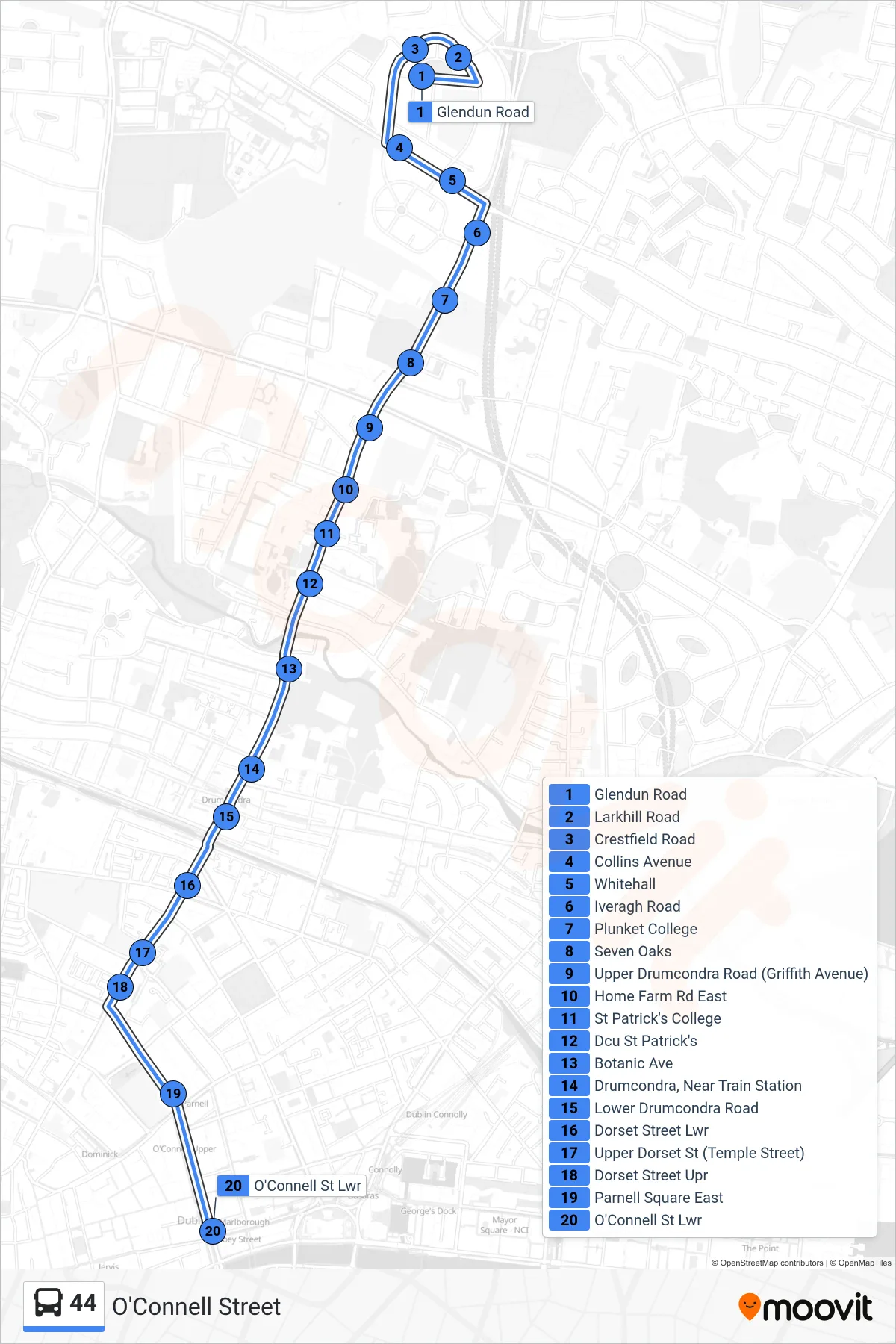
Stops list (44 - O'Connell Street)
- Glendun Road
- Larkhill Road
- Crestfield Road
- Collins Avenue
- Whitehall
- Iveragh Road
- Plunket College
- Seven Oaks
- Upper Drumcondra Road (Griffith Avenue)
- Home Farm Rd East
- St Patrick's College
- Dcu St Patrick's
- Botanic Ave
- Drumcondra, Near Train Station
- Lower Drumcondra Road
- Dorset Street Lwr
- Upper Dorset St (Temple Street)
- Dorset Street Upr
- Parnell Square East
- O'Connell St Lwr