
45 Bus Route Map
View the 45 route map and see all 45 stops along the route. The map of 45 shows where the bus travels and the location of each stop, making it easy to understand the entire route at a glance.
Explore Pioneer Valley Transit Authority routes on the map and see where Pioneer Valley Transit Authority bus services operate. Use the 45 map to find bus stops and see how the 45 connects different areas along its trip.
All 45 stops on the map are displayed in route order, helping you follow the 45 bus from the first stop to the last.
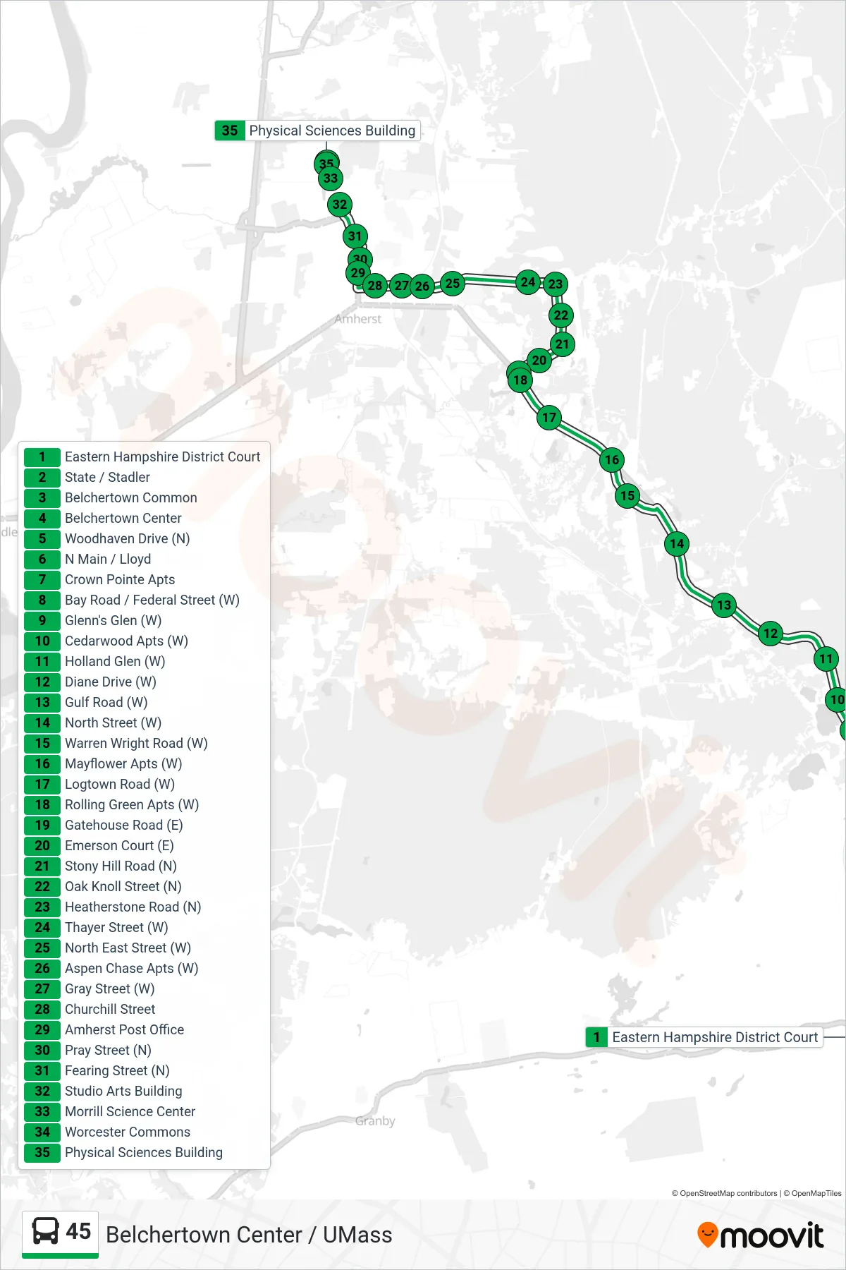
Stops list (45 - Umass)
- Eastern Hampshire District Court
- State / Stadler
- Belchertown Common
- Belchertown Center
- Woodhaven Drive (N)
- N Main / Lloyd
- Crown Pointe Apts
- Bay Road / Federal Street (W)
- Glenn's Glen (W)
- Cedarwood Apts (W)
- Holland Glen (W)
- Diane Drive (W)
- Gulf Road (W)
- North Street (W)
- Warren Wright Road (W)
- Mayflower Apts (W)
- Logtown Road (W)
- Rolling Green Apts (W)
- Gatehouse Road (E)
- Emerson Court (E)
- Stony Hill Road (N)
- Oak Knoll Street (N)
- Heatherstone Road (N)
- Thayer Street (W)
- North East Street (W)
- Aspen Chase Apts (W)
- Gray Street (W)
- Churchill Street
- Amherst Post Office
- Pray Street (N)
- Fearing Street (N)
- Studio Arts Building
- Morrill Science Center
- Worcester Commons
- Physical Sciences Building