
45 Bus Route Map
View the 45 route map and see all 45 stops along the route. The map of 45 shows where the bus travels and the location of each stop, making it easy to understand the entire route at a glance.
Explore Niederrheinische VKB routes on the map and see where Niederrheinische VKB bus services operate. Use the 45 map to find bus stops and see how the 45 connects different areas along its trip.
All 45 stops on the map are displayed in route order, helping you follow the 45 bus from the first stop to the last.
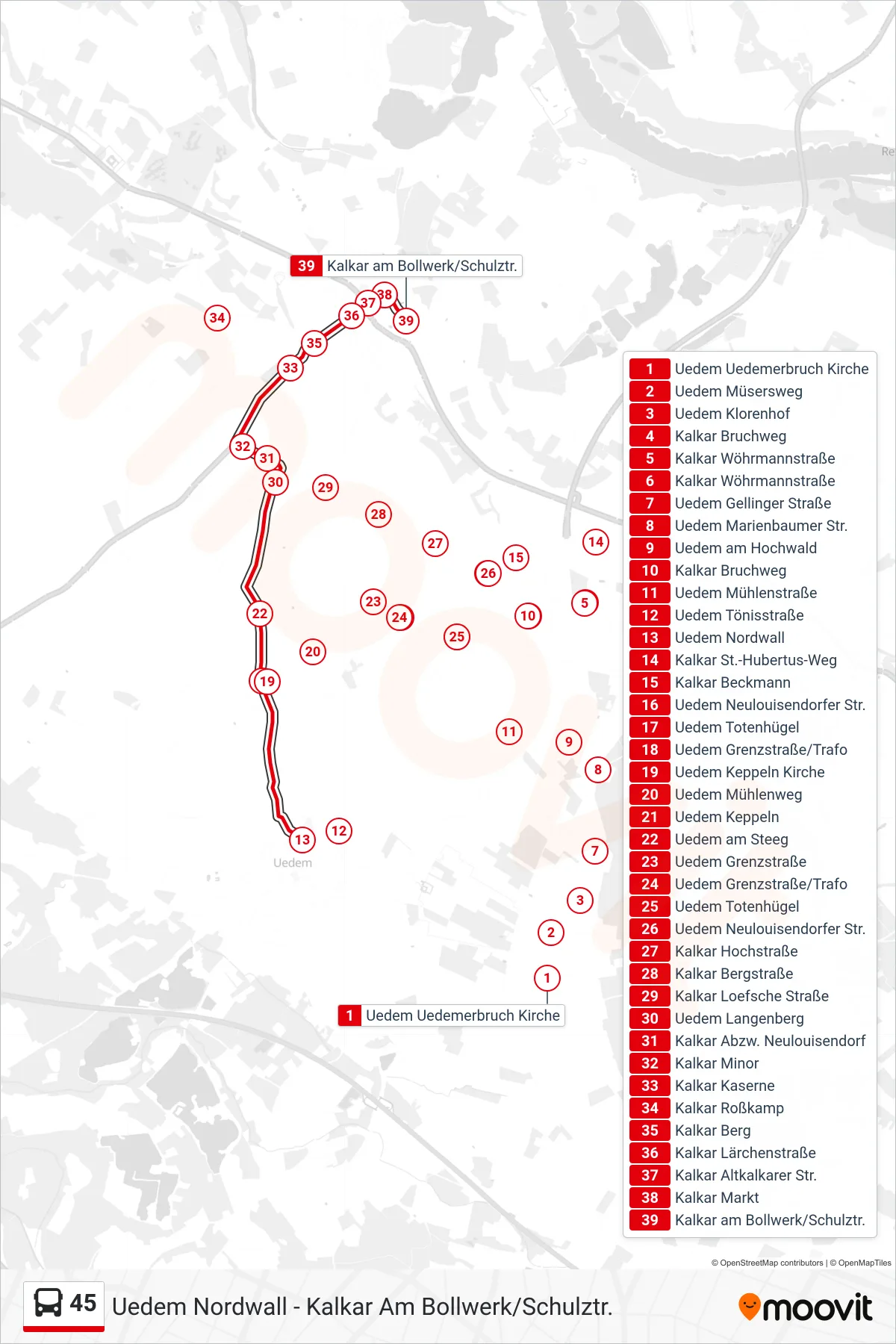
Stops list (45 - Kalkar am Bollwerk/Schulztr.)
- Uedem Uedemerbruch Kirche
- Uedem Müsersweg
- Uedem Klorenhof
- Kalkar Bruchweg
- Kalkar Wöhrmannstraße
- Kalkar Wöhrmannstraße
- Uedem Gellinger Straße
- Uedem Marienbaumer Str.
- Uedem am Hochwald
- Kalkar Bruchweg
- Uedem Mühlenstraße
- Uedem Tönisstraße
- Uedem Nordwall
- Kalkar St.-Hubertus-Weg
- Kalkar Beckmann
- Uedem Neulouisendorfer Str.
- Uedem Totenhügel
- Uedem Grenzstraße/Trafo
- Uedem Keppeln Kirche
- Uedem Mühlenweg
- Uedem Keppeln
- Uedem am Steeg
- Uedem Grenzstraße
- Uedem Grenzstraße/Trafo
- Uedem Totenhügel
- Uedem Neulouisendorfer Str.
- Kalkar Hochstraße
- Kalkar Bergstraße
- Kalkar Loefsche Straße
- Uedem Langenberg
- Kalkar Abzw. Neulouisendorf
- Kalkar Minor
- Kalkar Kaserne
- Kalkar Roßkamp
- Kalkar Berg
- Kalkar Lärchenstraße
- Kalkar Altkalkarer Str.
- Kalkar Markt
- Kalkar am Bollwerk/Schulztr.