
469 Bus Route Map
View the 469 route map and see all 469 stops along the route. The map of 469 shows where the bus travels and the location of each stop, making it easy to understand the entire route at a glance.
Explore VBB routes on the map and see where VBB bus services operate. Use the 469 map to find bus stops and see how the 469 connects different areas along its trip.
All 469 stops on the map are displayed in route order, helping you follow the 469 bus from the first stop to the last.
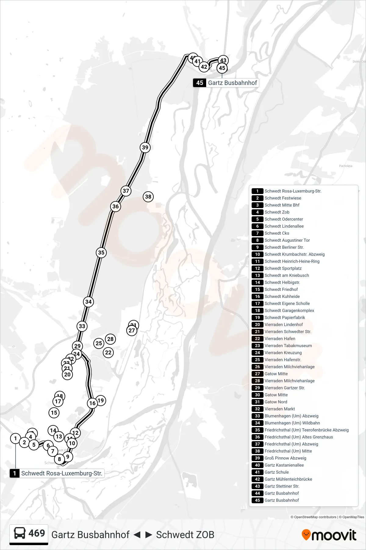
Stops list (469 - Gartz Busbahnhof)
- Schwedt Rosa-Luxemburg-Str.
- Schwedt Festwiese
- Schwedt Mitte Bhf
- Schwedt Zob
- Schwedt Odercenter
- Schwedt Lindenallee
- Schwedt Cks
- Schwedt Augustiner Tor
- Schwedt Berliner Str.
- Schwedt Krumbachstr. Abzweig
- Schwedt Heinrich-Heine-Ring
- Schwedt Sportplatz
- Schwedt am Kniebusch
- Schwedt Helbigstr.
- Schwedt Friedhof
- Schwedt Kuhheide
- Schwedt Eigene Scholle
- Schwedt Garagenkomplex
- Schwedt Papierfabrik
- Vierraden Lindenhof
- Vierraden Schwedter Str.
- Vierraden Hafen
- Vierraden Tabakmuseum
- Vierraden Kreuzung
- Vierraden Hafenstr.
- Vierraden Milchviehanlage
- Gatow Mitte
- Vierraden Milchviehanlage
- Vierraden Gartzer Str.
- Gatow Mitte
- Gatow Nord
- Vierraden Markt
- Blumenhagen (Um) Abzweig
- Blumenhagen (Um) Wildbahn
- Friedrichsthal (Um) Teerofenbrücke Abzweig
- Friedrichsthal (Um) Altes Grenzhaus
- Friedrichsthal (Um) Abzweig
- Friedrichsthal (Um) Mitte
- Groß Pinnow Abzweig
- Gartz Kastanienallee
- Gartz Schule
- Gartz Mühlenteichbrücke
- Gartz Stettiner Str.
- Gartz Busbahnhof
- Gartz Busbahnhof