
480 Bus Route Map
View the 480 route map and see all 480 stops along the route. The map of 480 shows where the bus travels and the location of each stop, making it easy to understand the entire route at a glance.
Explore ww mobility GmbH routes on the map and see where ww mobility GmbH bus services operate. Use the 480 map to find bus stops and see how the 480 connects different areas along its trip.
All 480 stops on the map are displayed in route order, helping you follow the 480 bus from the first stop to the last.
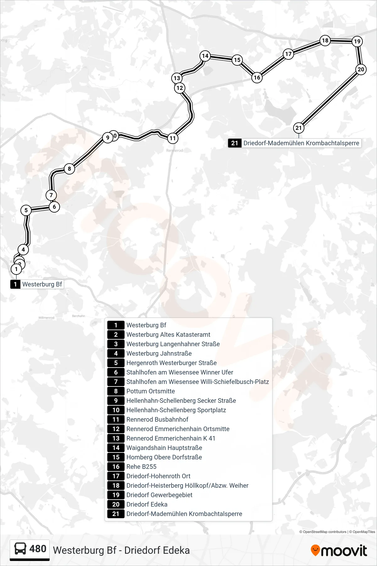
Stops list (480 - Driedorf-Mademühlen Krombachtalsperre)
- Westerburg Bf
- Westerburg Altes Katasteramt
- Westerburg Langenhahner Straße
- Westerburg Jahnstraße
- Hergenroth Westerburger Straße
- Stahlhofen am Wiesensee Winner Ufer
- Stahlhofen am Wiesensee Willi-Schiefelbusch-Platz
- Pottum Ortsmitte
- Hellenhahn-Schellenberg Secker Straße
- Hellenhahn-Schellenberg Sportplatz
- Rennerod Busbahnhof
- Rennerod Emmerichenhain Ortsmitte
- Rennerod Emmerichenhain K 41
- Waigandshain Hauptstraße
- Homberg Obere Dorfstraße
- Rehe B255
- Driedorf-Hohenroth Ort
- Driedorf-Heisterberg Höllkopf/Abzw. Weiher
- Driedorf Gewerbegebiet
- Driedorf Edeka
- Driedorf-Mademühlen Krombachtalsperre