
486 Bus Route Map
View the 486 route map and see all 486 stops along the route. The map of 486 shows where the bus travels and the location of each stop, making it easy to understand the entire route at a glance.
Explore Österreichische Postbus AG routes on the map and see where Österreichische Postbus AG bus services operate. Use the 486 map to find bus stops and see how the 486 connects different areas along its trip.
All 486 stops on the map are displayed in route order, helping you follow the 486 bus from the first stop to the last.
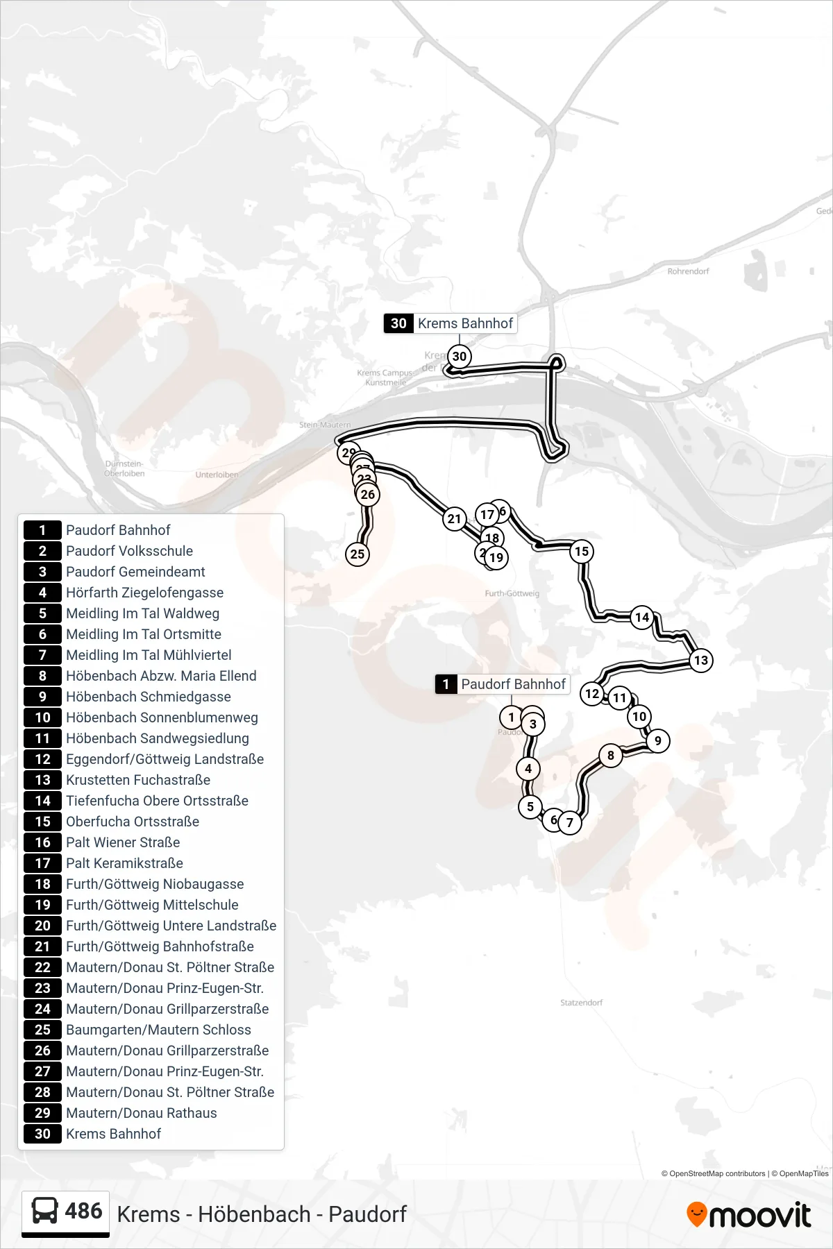
Stops list (486 - Krems Bahnhof)
- Paudorf Bahnhof
- Paudorf Volksschule
- Paudorf Gemeindeamt
- Hörfarth Ziegelofengasse
- Meidling Im Tal Waldweg
- Meidling Im Tal Ortsmitte
- Meidling Im Tal Mühlviertel
- Höbenbach Abzw. Maria Ellend
- Höbenbach Schmiedgasse
- Höbenbach Sonnenblumenweg
- Höbenbach Sandwegsiedlung
- Eggendorf/Göttweig Landstraße
- Krustetten Fuchastraße
- Tiefenfucha Obere Ortsstraße
- Oberfucha Ortsstraße
- Palt Wiener Straße
- Palt Keramikstraße
- Furth/Göttweig Niobaugasse
- Furth/Göttweig Mittelschule
- Furth/Göttweig Untere Landstraße
- Furth/Göttweig Bahnhofstraße
- Mautern/Donau St. Pöltner Straße
- Mautern/Donau Prinz-Eugen-Str.
- Mautern/Donau Grillparzerstraße
- Baumgarten/Mautern Schloss
- Mautern/Donau Grillparzerstraße
- Mautern/Donau Prinz-Eugen-Str.
- Mautern/Donau St. Pöltner Straße
- Mautern/Donau Rathaus
- Krems Bahnhof