
5 Bus Route Map
View the 5 route map and see all 5 stops along the route. The map of 5 shows where the bus travels and the location of each stop, making it easy to understand the entire route at a glance.
Explore Stadtwerke Trier routes on the map and see where Stadtwerke Trier bus services operate. Use the 5 map to find bus stops and see how the 5 connects different areas along its trip.
All 5 stops on the map are displayed in route order, helping you follow the 5 bus from the first stop to the last.
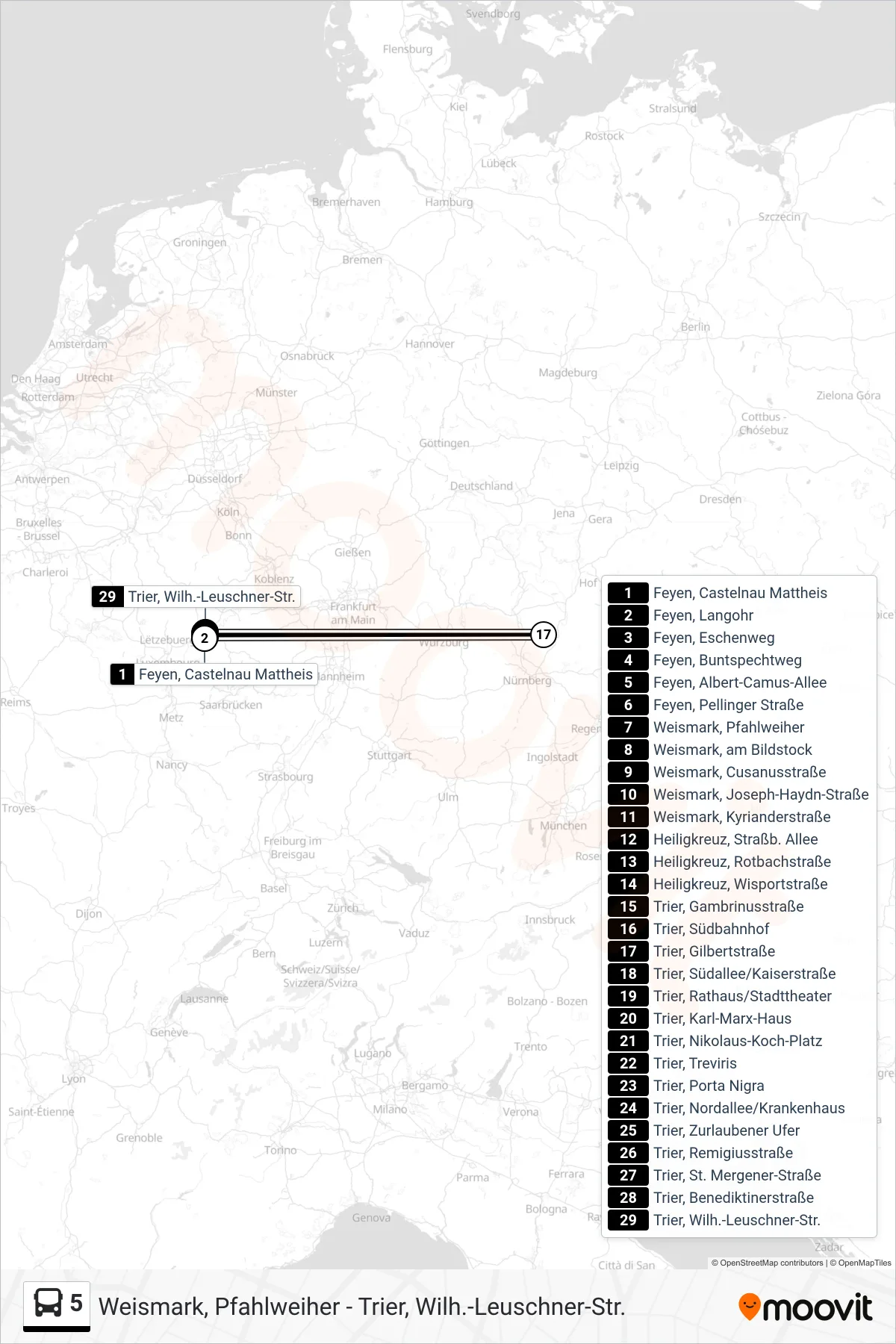
Stops list (5 - Trier, Wilh.-Leuschner-Str.)
- Feyen, Castelnau Mattheis
- Feyen, Langohr
- Feyen, Eschenweg
- Feyen, Buntspechtweg
- Feyen, Albert-Camus-Allee
- Feyen, Pellinger Straße
- Weismark, Pfahlweiher
- Weismark, am Bildstock
- Weismark, Cusanusstraße
- Weismark, Joseph-Haydn-Straße
- Weismark, Kyrianderstraße
- Heiligkreuz, Straßb. Allee
- Heiligkreuz, Rotbachstraße
- Heiligkreuz, Wisportstraße
- Trier, Gambrinusstraße
- Trier, Südbahnhof
- Trier, Gilbertstraße
- Trier, Südallee/Kaiserstraße
- Trier, Rathaus/Stadttheater
- Trier, Karl-Marx-Haus
- Trier, Nikolaus-Koch-Platz
- Trier, Treviris
- Trier, Porta Nigra
- Trier, Nordallee/Krankenhaus
- Trier, Zurlaubener Ufer
- Trier, Remigiusstraße
- Trier, St. Mergener-Straße
- Trier, Benediktinerstraße
- Trier, Wilh.-Leuschner-Str.