
5 Bus Route Map
View the 5 route map and see all 5 stops along the route. The map of 5 shows where the bus travels and the location of each stop, making it easy to understand the entire route at a glance.
Explore RET routes on the map and see where RET bus services operate. Use the 5 map to find bus stops and see how the 5 connects different areas along its trip.
All 5 stops on the map are displayed in route order, helping you follow the 5 bus from the first stop to the last.
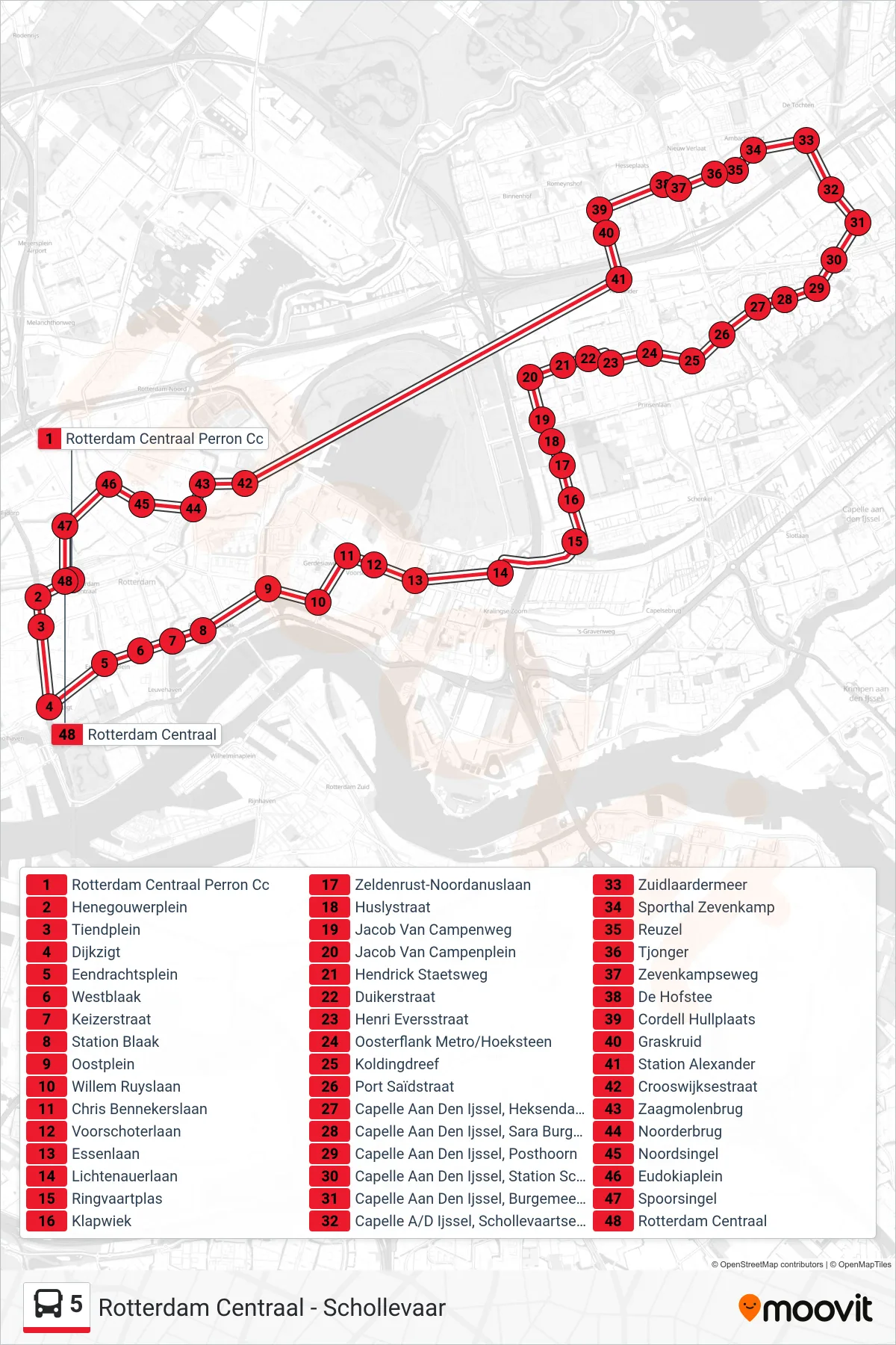
Stops list (5 - Rotterdam Centraal)
- Rotterdam Centraal Perron Cc
- Henegouwerplein
- Tiendplein
- Dijkzigt
- Eendrachtsplein
- Westblaak
- Keizerstraat
- Station Blaak
- Oostplein
- Willem Ruyslaan
- Chris Bennekerslaan
- Voorschoterlaan
- Essenlaan
- Lichtenauerlaan
- Ringvaartplas
- Klapwiek
- Zeldenrust-Noordanuslaan
- Huslystraat
- Jacob Van Campenweg
- Jacob Van Campenplein
- Hendrick Staetsweg
- Duikerstraat
- Henri Eversstraat
- Oosterflank Metro/Hoeksteen
- Koldingdreef
- Port Saïdstraat
- Capelle Aan Den Ijssel, Heksendans
- Capelle Aan Den Ijssel, Sara Burgerhart Erf
- Capelle Aan Den Ijssel, Posthoorn
- Capelle Aan Den Ijssel, Station Schollevaar
- Capelle Aan Den Ijssel, Burgemeester Schalijlaan
- Capelle A/D Ijssel, Schollevaartsedreef
- Zuidlaardermeer
- Sporthal Zevenkamp
- Reuzel
- Tjonger
- Zevenkampseweg
- De Hofstee
- Cordell Hullplaats
- Graskruid
- Station Alexander
- Crooswijksestraat
- Zaagmolenbrug
- Noorderbrug
- Noordsingel
- Eudokiaplein
- Spoorsingel
- Rotterdam Centraal