
50 Bus Route Map
View the 50 route map and see all 50 stops along the route. The map of 50 shows where the bus travels and the location of each stop, making it easy to understand the entire route at a glance.
Explore Josephine Community Transit routes on the map and see where Josephine Community Transit bus services operate. Use the 50 map to find bus stops and see how the 50 connects different areas along its trip.
All 50 stops on the map are displayed in route order, helping you follow the 50 bus from the first stop to the last.
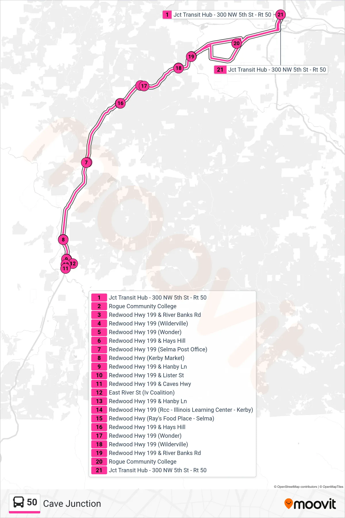
Stops list (50 - Cave Junction)
- Jct Transit Hub - 300 NW 5th St - Rt 50
- Rogue Community College
- Redwood Hwy 199 & River Banks Rd
- Redwood Hwy 199 (Wilderville)
- Redwood Hwy 199 (Wonder)
- Redwood Hwy 199 & Hays Hill
- Redwood Hwy 199 (Selma Post Office)
- Redwood Hwy (Kerby Market)
- Redwood Hwy 199 & Hanby Ln
- Redwood Hwy 199 & Lister St
- Redwood Hwy 199 & Caves Hwy
- East River St (Iv Coalition)
- Redwood Hwy 199 & Hanby Ln
- Redwood Hwy 199 (Rcc - Illinois Learning Center - Kerby)
- Redwood Hwy (Ray's Food Place - Selma)
- Redwood Hwy 199 & Hays Hill
- Redwood Hwy 199 (Wonder)
- Redwood Hwy 199 (Wilderville)
- Redwood Hwy 199 & River Banks Rd
- Rogue Community College
- Jct Transit Hub - 300 NW 5th St - Rt 50