
50 Bus Route Map
View the 50 route map and see all 50 stops along the route. The map of 50 shows where the bus travels and the location of each stop, making it easy to understand the entire route at a glance.
Explore SĮ "Susisiekimo paslaugos"-Bus routes on the map and see where SĮ "Susisiekimo paslaugos"-Bus bus services operate. Use the 50 map to find bus stops and see how the 50 connects different areas along its trip.
All 50 stops on the map are displayed in route order, helping you follow the 50 bus from the first stop to the last.
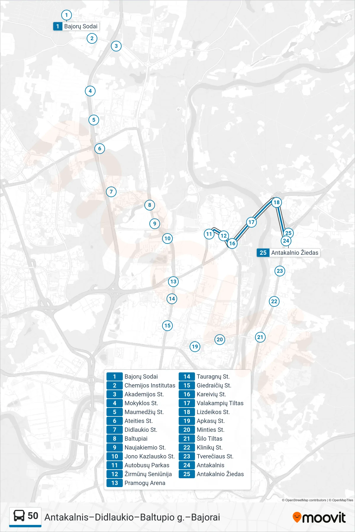
Stops list (50 - Antakalnis)
- Bajorų Sodai
- Chemijos Institutas
- Akademijos St.
- Mokyklos St.
- Maumedžių St.
- Ateities St.
- Didlaukio St.
- Baltupiai
- Naujakiemio St.
- Jono Kazlausko St.
- Autobusų Parkas
- Žirmūnų Seniūnija
- Pramogų Arena
- Tauragnų St.
- Giedraičių St.
- Kareivių St.
- Valakampių Tiltas
- Lizdeikos St.
- Apkasų St.
- Minties St.
- Šilo Tiltas
- Klinikų St.
- Tverečiaus St.
- Antakalnis
- Antakalnio Žiedas