
51 Bus Route Map
View the 51 route map and see all 51 stops along the route. The map of 51 shows where the bus travels and the location of each stop, making it easy to understand the entire route at a glance.
Explore Autobuses routes on the map and see where Autobuses bus services operate. Use the 51 map to find bus stops and see how the 51 connects different areas along its trip.
All 51 stops on the map are displayed in route order, helping you follow the 51 bus from the first stop to the last.
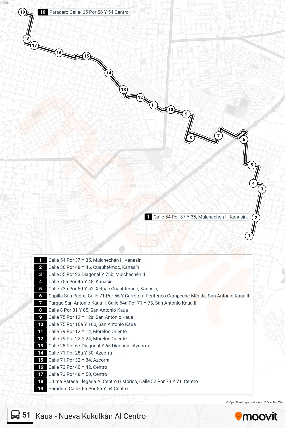
Stops list (51 - Kaua - Nueva Kukulkán Al Centro)
- Calle 54 Por 37 Y 35, Mulchechén Ii, Kanasín,
- Calle 36 Por 48 Y 46, Cuauhtémoc, Kanasín
- Calle 35 Por 23 Diagonal Y 75b, Mulchechén II
- Calle 75a Por 46 Y 48, Kanasín.
- Calle 73a Por 50 Y 52, Xelpac Cuauhtémoc, Kanasín,
- Capilla San Pedro, Calle 71 Por 56 Y Carretera Periférico Campeche-Mérida, San Antonio Kaua III
- Parque San Antonio Kaua Ii, Calle 64a Por 71 Y 73, San Antonio Kaua II
- Calle 8 Por 81 Y 85, San Antonio Kaua
- Calle 75 Por 12 Y 12a, San Antonio Kaua
- Calle 75 Por 16a Y 16b, San Antonio Kaua
- Calle 79 Por 12 Y 14, Morelos Oriente
- Calle 79 Por 22 Y 24, Morelos Oriente
- Calle 28 Por 67 Diagonal Y 65 Diagonal, Azcorra
- Calle 71 Por 28a Y 30, Azcorra
- Calle 71 Por 32 Y 34, Azcorra
- Calle 73 Por 40 Y 42, Centro
- Calle 73 Por 48 Y 50, Centro
- Última Parada Llegada Al Centro Histórico, Calle 52 Por 73 Y 71, Centro
- Paradero Calle- 65 Por 56 Y 54 Centro