
513 Bus Route Map
View the 513 route map and see all 513 stops along the route. The map of 513 shows where the bus travels and the location of each stop, making it easy to understand the entire route at a glance.
Explore Nomad Car (Région Normandie) routes on the map and see where Nomad Car (Région Normandie) bus services operate. Use the 513 map to find bus stops and see how the 513 connects different areas along its trip.
All 513 stops on the map are displayed in route order, helping you follow the 513 bus from the first stop to the last.
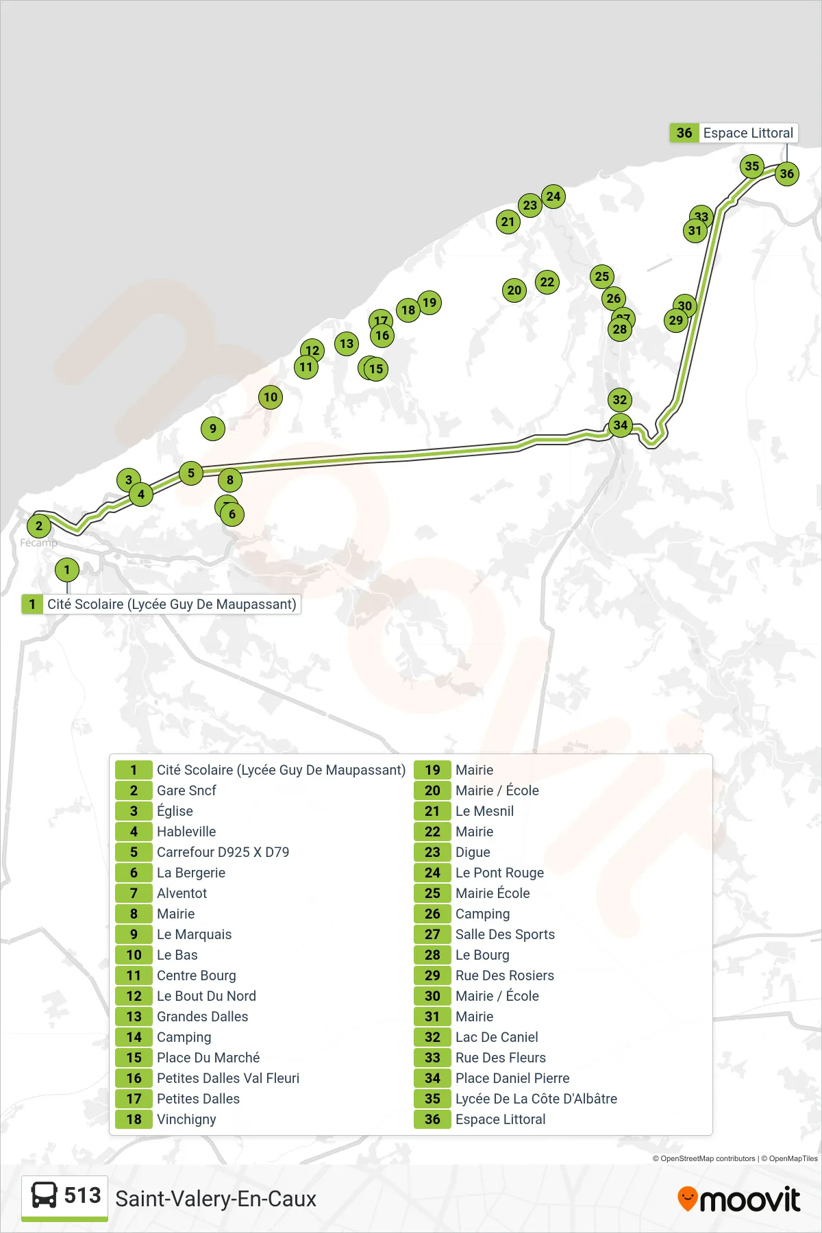
Stops list (513 - Saint-Valery-En-Caux)
- Cité Scolaire (Lycée Guy De Maupassant)
- Gare Sncf
- Église
- Hableville
- Carrefour D925 X D79
- La Bergerie
- Alventot
- Mairie
- Le Marquais
- Le Bas
- Centre Bourg
- Le Bout Du Nord
- Grandes Dalles
- Camping
- Place Du Marché
- Petites Dalles Val Fleuri
- Petites Dalles
- Vinchigny
- Mairie
- Mairie / École
- Mairie
- École
- Le Mesnil
- Digue
- Le Pont Rouge
- Mairie École
- Camping
- Salle Des Sports
- Le Bourg
- Rue Des Rosiers
- Mairie / École
- Mairie
- Lac De Caniel
- Rue Des Fleurs
- Place Daniel Pierre
- Lycée De La Côte D'Albâtre
- Espace Littoral