
518 Bus Route Map
View the 518 route map and see all 518 stops along the route. The map of 518 shows where the bus travels and the location of each stop, making it easy to understand the entire route at a glance.
Explore Nomad Car (Région Normandie) routes on the map and see where Nomad Car (Région Normandie) bus services operate. Use the 518 map to find bus stops and see how the 518 connects different areas along its trip.
All 518 stops on the map are displayed in route order, helping you follow the 518 bus from the first stop to the last.
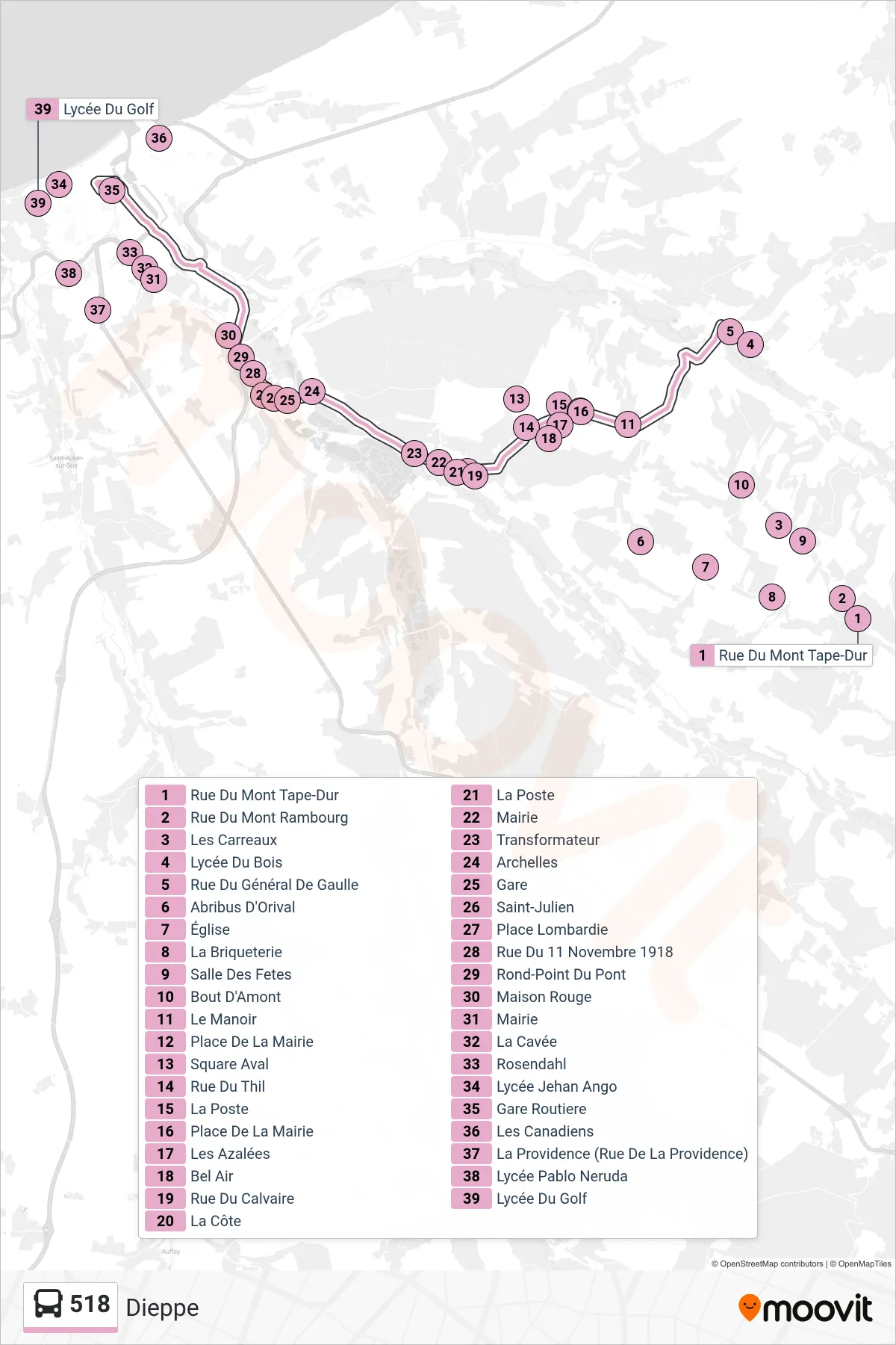
Stops list (518 - Dieppe)
- Rue Du Mont Tape-Dur
- Rue Du Mont Rambourg
- Les Carreaux
- Lycée Du Bois
- Rue Du Général De Gaulle
- Abribus D'Orival
- Église
- La Briqueterie
- Salle Des Fetes
- Bout D'Amont
- Le Manoir
- Place De La Mairie
- Square Aval
- Rue Du Thil
- La Poste
- Place De La Mairie
- Les Azalées
- Bel Air
- Rue Du Calvaire
- La Côte
- La Poste
- Mairie
- Transformateur
- Archelles
- Gare
- Saint-Julien
- Place Lombardie
- Rue Du 11 Novembre 1918
- Rond-Point Du Pont
- Maison Rouge
- Mairie
- La Cavée
- Rosendahl
- Lycée Jehan Ango
- Gare Routiere
- Les Canadiens
- La Providence (Rue De La Providence)
- Lycée Pablo Neruda
- Lycée Du Golf