
519 Bus Route Map
View the 519 route map and see all 519 stops along the route. The map of 519 shows where the bus travels and the location of each stop, making it easy to understand the entire route at a glance.
Explore VBB routes on the map and see where VBB bus services operate. Use the 519 map to find bus stops and see how the 519 connects different areas along its trip.
All 519 stops on the map are displayed in route order, helping you follow the 519 bus from the first stop to the last.
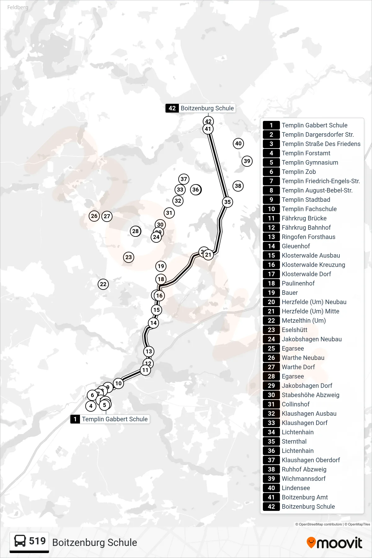
Stops list (519 - Boitzenburg Schule)
- Templin Gabbert Schule
- Templin Straße Des Friedens
- Templin Forstamt
- Templin Gymnasium
- Templin Dargersdorfer Str.
- Templin Zob
- Templin Friedrich-Engels-Str.
- Templin August-Bebel-Str.
- Templin Stadtbad
- Templin Fachschule
- Fährkrug Brücke
- Fährkrug Bahnhof
- Ringofen Forsthaus
- Gleuenhof
- Klosterwalde Ausbau
- Klosterwalde Kreuzung
- Klosterwalde Dorf
- Paulinenhof
- Bauer
- Metzelthin (Um)
- Eselshütt
- Jakobshagen Neubau
- Herzfelde (Um) Neubau
- Herzfelde (Um) Mitte
- Egarsee
- Warthe Neubau
- Warthe Dorf
- Egarsee
- Jakobshagen Dorf
- Stabeshöhe Abzweig
- Collinshof
- Klaushagen Ausbau
- Klaushagen Dorf
- Sternthal
- Ruhhof Abzweig
- Lichtenhain
- Klaushagen Oberdorf
- Wichmannsdorf
- Lindensee
- Boitzenburg Amt
- Boitzenburg Schule