
52 Bus Route Map
View the 52 route map and see all 52 stops along the route. The map of 52 shows where the bus travels and the location of each stop, making it easy to understand the entire route at a glance.
Explore Miami-Dade Transit routes on the map and see where Miami-Dade Transit bus services operate. Use the 52 map to find bus stops and see how the 52 connects different areas along its trip.
All 52 stops on the map are displayed in route order, helping you follow the 52 bus from the first stop to the last.
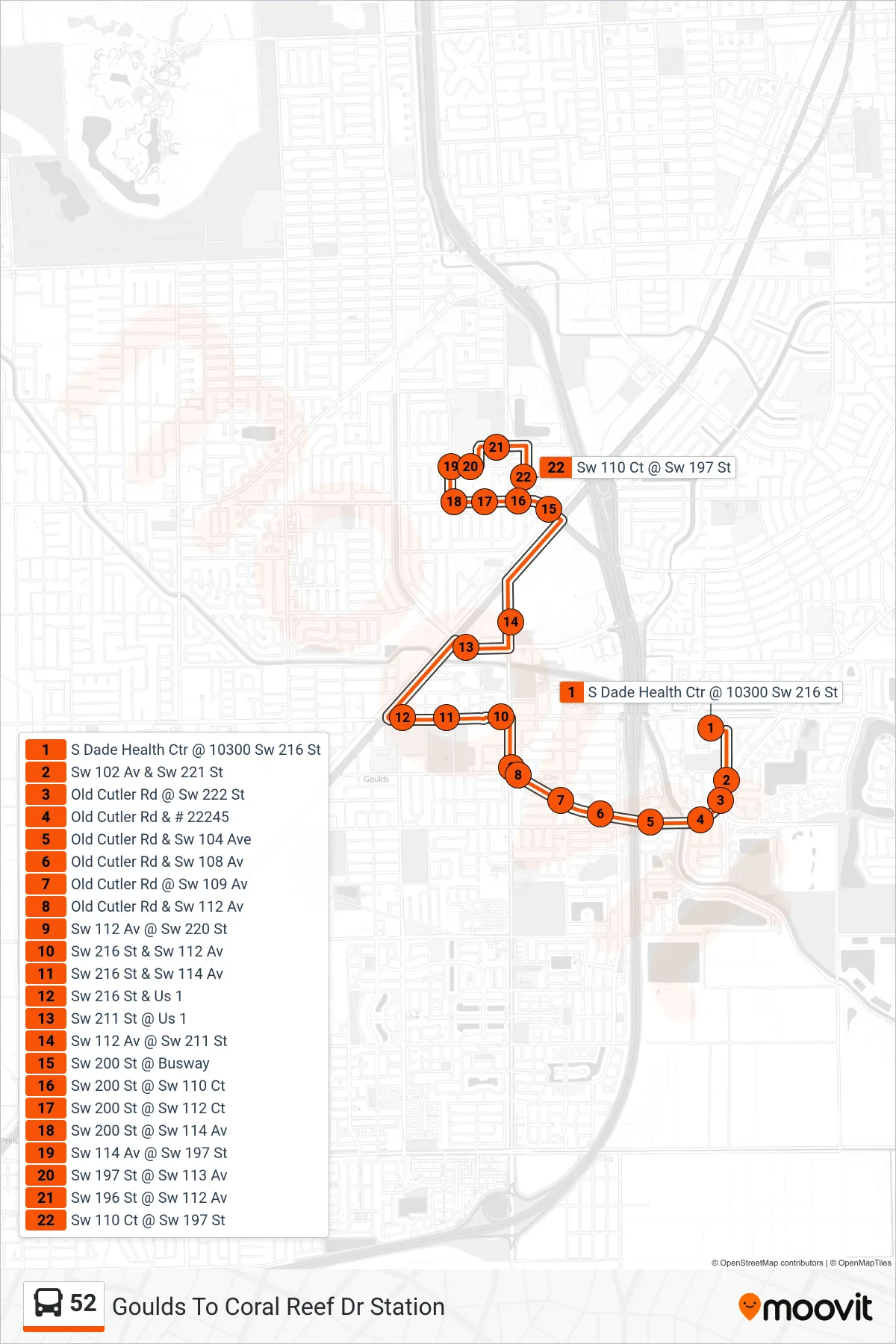
Stops list (52 - 52 - Caribbean Blvd Station SW 200 St & Transitway)
- S Dade Health Ctr @ 10300 Sw 216 St
- Sw 102 Av & Sw 221 St
- Old Cutler Rd @ Sw 222 St
- Old Cutler Rd & # 22245
- Old Cutler Rd & Sw 104 Ave
- Old Cutler Rd & Sw 108 Av
- Old Cutler Rd @ Sw 109 Av
- Old Cutler Rd & Sw 112 Av
- Sw 112 Av @ Sw 220 St
- Sw 216 St & Sw 112 Av
- Sw 216 St & Sw 114 Av
- Sw 216 St & Us 1
- Sw 211 St @ Us 1
- Sw 112 Av @ Sw 211 St
- Sw 200 St @ Busway
- Sw 200 St @ Sw 110 Ct
- Sw 200 St @ Sw 112 Ct
- Sw 200 St @ Sw 114 Av
- Sw 114 Av @ Sw 197 St
- Sw 197 St @ Sw 113 Av
- Sw 196 St @ Sw 112 Av
- Sw 110 Ct @ Sw 197 St