
53 Bus Route Map
View the 53 route map and see all 53 stops along the route. The map of 53 shows where the bus travels and the location of each stop, making it easy to understand the entire route at a glance.
Explore Regional Transportation District routes on the map and see where Regional Transportation District bus services operate. Use the 53 map to find bus stops and see how the 53 connects different areas along its trip.
All 53 stops on the map are displayed in route order, helping you follow the 53 bus from the first stop to the last.
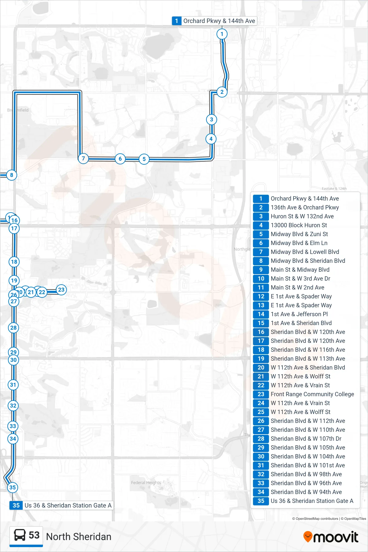
Stops list (53 - Us 36 & Sheridan Station)
- Orchard Pkwy & 144th Ave
- 136th Ave & Orchard Pkwy
- Huron St & W 132nd Ave
- 13000 Block Huron St
- Midway Blvd & Zuni St
- Midway Blvd & Elm Ln
- Midway Blvd & Lowell Blvd
- Midway Blvd & Sheridan Blvd
- Main St & Midway Blvd
- Main St & W 3rd Ave Dr
- Main St & W 2nd Ave
- E 1st Ave & Spader Way
- E 1st Ave & Spader Way
- 1st Ave & Jefferson Pl
- 1st Ave & Sheridan Blvd
- Sheridan Blvd & W 120th Ave
- Sheridan Blvd & W 120th Ave
- Sheridan Blvd & W 116th Ave
- Sheridan Blvd & W 113th Ave
- W 112th Ave & Sheridan Blvd
- W 112th Ave & Wolff St
- W 112th Ave & Vrain St
- Front Range Community College
- W 112th Ave & Vrain St
- W 112th Ave & Wolff St
- Sheridan Blvd & W 112th Ave
- Sheridan Blvd & W 110th Ave
- Sheridan Blvd & W 107th Dr
- Sheridan Blvd & W 105th Ave
- Sheridan Blvd & W 104th Ave
- Sheridan Blvd & W 101st Ave
- Sheridan Blvd & W 98th Ave
- Sheridan Blvd & W 96th Ave
- Sheridan Blvd & W 94th Ave
- Us 36 & Sheridan Station Gate A