
531 Bus Route Map
View the 531 route map and see all 531 stops along the route. The map of 531 shows where the bus travels and the location of each stop, making it easy to understand the entire route at a glance.
Explore Landbus Walgau routes on the map and see where Landbus Walgau bus services operate. Use the 531 map to find bus stops and see how the 531 connects different areas along its trip.
All 531 stops on the map are displayed in route order, helping you follow the 531 bus from the first stop to the last.
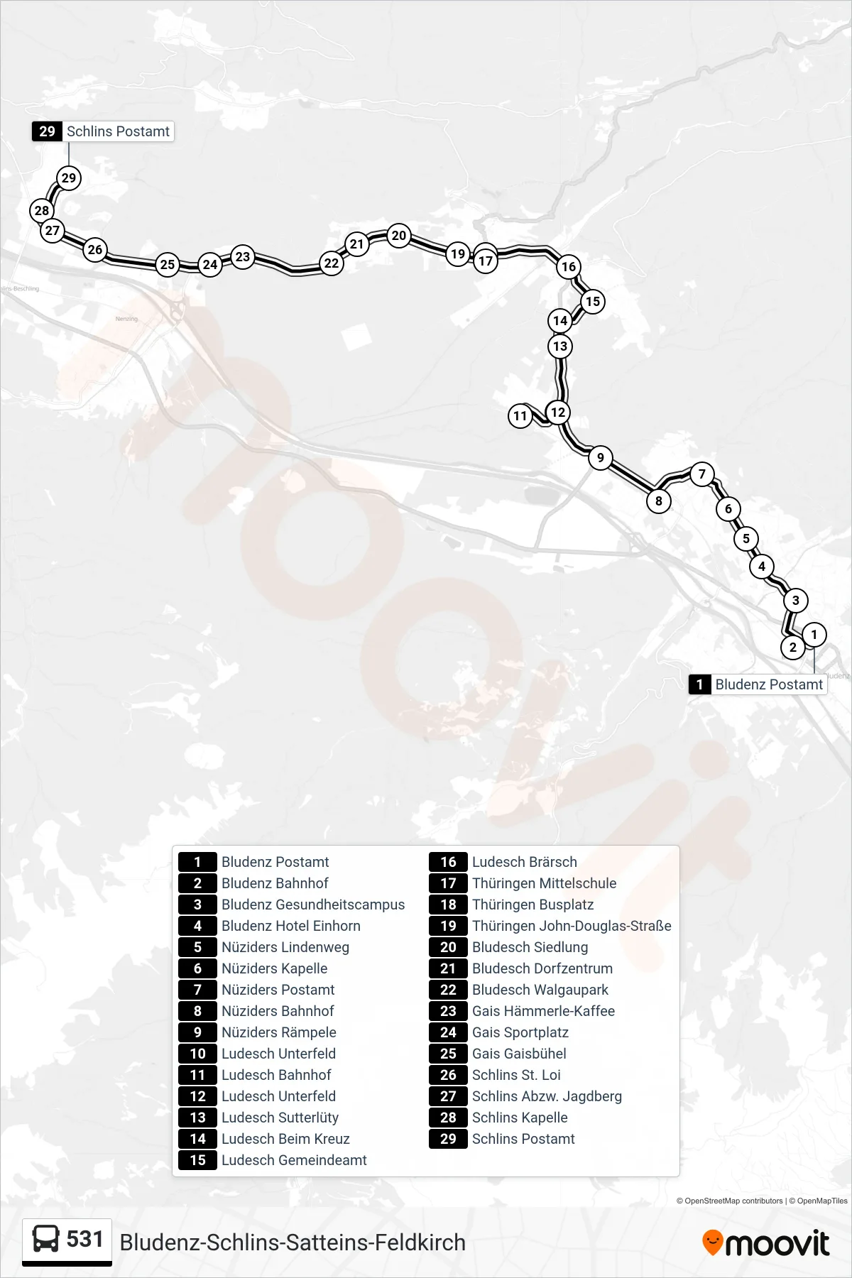
Stops list (531 - Schlins Postamt)
- Bludenz Postamt
- Bludenz Bahnhof
- Bludenz Gesundheitscampus
- Bludenz Hotel Einhorn
- Nüziders Lindenweg
- Nüziders Kapelle
- Nüziders Postamt
- Nüziders Bahnhof
- Nüziders Rämpele
- Ludesch Unterfeld
- Ludesch Bahnhof
- Ludesch Unterfeld
- Ludesch Sutterlüty
- Ludesch Beim Kreuz
- Ludesch Gemeindeamt
- Ludesch Brärsch
- Thüringen Mittelschule
- Thüringen Busplatz
- Thüringen John-Douglas-Straße
- Bludesch Siedlung
- Bludesch Dorfzentrum
- Bludesch Walgaupark
- Gais Hämmerle-Kaffee
- Gais Sportplatz
- Gais Gaisbühel
- Schlins St. Loi
- Schlins Abzw. Jagdberg
- Schlins Kapelle
- Schlins Postamt
Change direction
- Route Map - 531 - Frastanz Bahnhof
- Route Map - 531 - Nenzing Bahnhof
- Route Map - 531 - Ludesch Brärsch
- Route Map - 531 - Schlins St. Loi
- Route Map - 531 - Satteins Alte Schlinserstraße
- Route Map - 531 - Thüringen Mittelschule
- Route Map - 531 - Gais Gaisbühel
- Route Map - 531 - Frastanz Felsenau
- Route Map - 531 - Feldkirch Bahnhof
- Route Map - 531 - Tisis Landeskrankenhaus
- Route Map - 531 - Feldkirch Busplatz
- Route Map - 531 - Bludenz Bahnhof
- Route Map - 531 - Satteins Mittelschule