
54 Bus Route Map
View the 54 route map and see all 54 stops along the route. The map of 54 shows where the bus travels and the location of each stop, making it easy to understand the entire route at a glance.
Explore Kärnten Bus GmbH routes on the map and see where Kärnten Bus GmbH bus services operate. Use the 54 map to find bus stops and see how the 54 connects different areas along its trip.
All 54 stops on the map are displayed in route order, helping you follow the 54 bus from the first stop to the last.
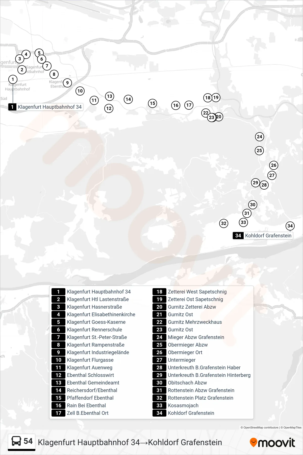

Stops list (54 - Kohldorf Grafenstein)
- Klagenfurt Hauptbahnhof 34
- Klagenfurt Htl Lastenstraße
- Klagenfurt Hasnerstraße
- Klagenfurt Elisabethinenkirche
- Klagenfurt Goess-Kaserne
- Klagenfurt Rennerschule
- Klagenfurt St.-Peter-Straße
- Klagenfurt Rampenstraße
- Klagenfurt Industriegelände
- Klagenfurt Flurgasse
- Klagenfurt Auenweg
- Ebenthal Schlosswirt
- Ebenthal Gemeindeamt
- Reichersdorf/Ebenthal
- Pfaffendorf Ebenthal
- Rain Bei Ebenthal
- Zell B.Ebenthal Ort
- Zetterei West Sapetschnig
- Zetterei Ost Sapetschnig
- Gurnitz Zetterei Abzw
- Gurnitz Ost
- Gurnitz Mehrzweckhaus
- Gurnitz Ost
- Mieger Abzw Grafenstein
- Obermieger Abzw
- Obermieger Ort
- Untermieger
- Unterkreuth B.Grafenstein Haber
- Unterkreuth B.Grafenstein Hinterberg
- Obitschach Abzw
- Rottenstein Abzw Grafenstein
- Rottenstein Platz Grafenstein
- Kosasmojach
- Kohldorf Grafenstein