
540 Bus Route Map
View the 540 route map and see all 540 stops along the route. The map of 540 shows where the bus travels and the location of each stop, making it easy to understand the entire route at a glance.
Explore Omnibus2 routes on the map and see where Omnibus2 bus services operate. Use the 540 map to find bus stops and see how the 540 connects different areas along its trip.
All 540 stops on the map are displayed in route order, helping you follow the 540 bus from the first stop to the last.
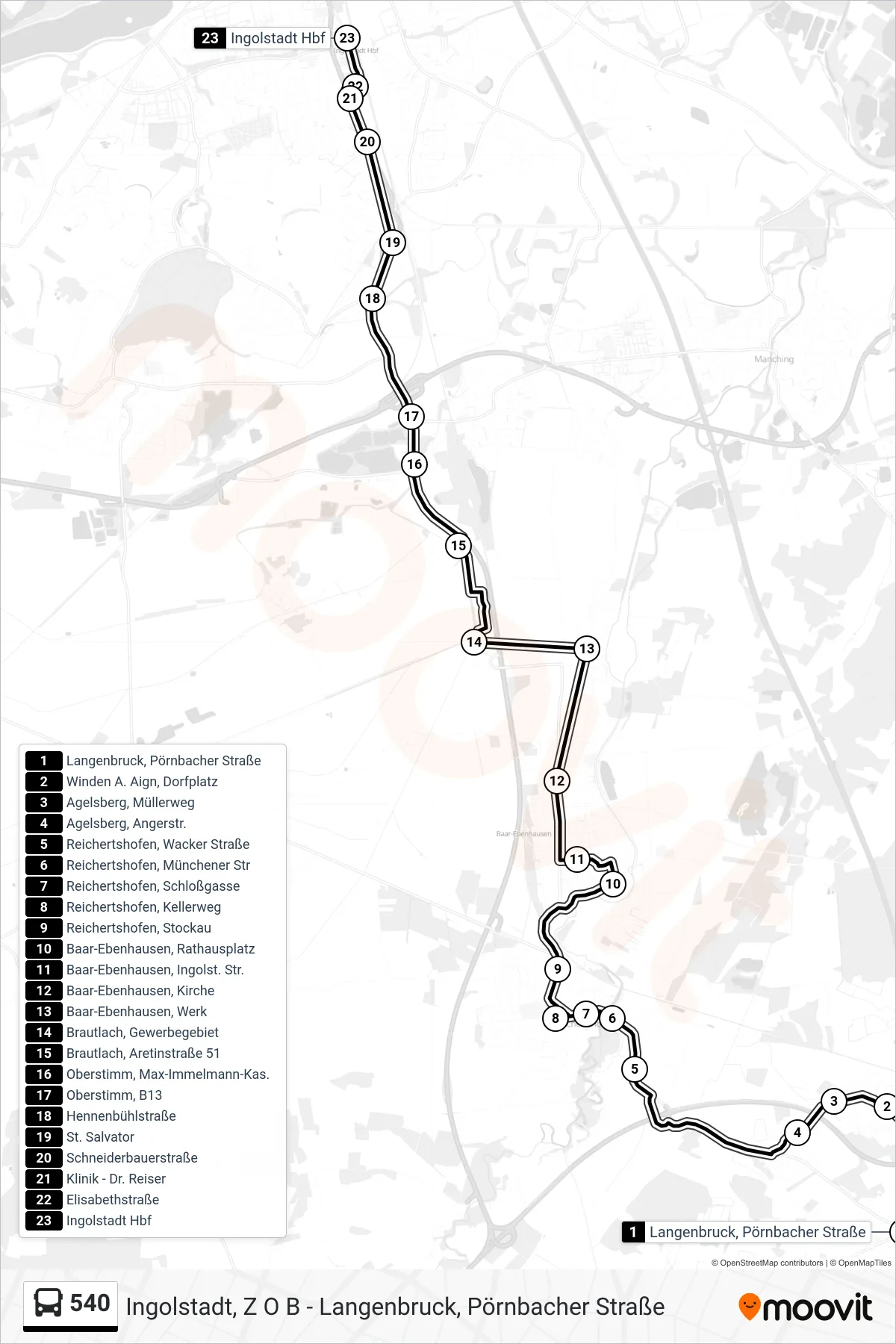
Stops list (540 - Hauptbahnhof)
- Langenbruck, Pörnbacher Straße
- Winden A. Aign, Dorfplatz
- Agelsberg, Müllerweg
- Agelsberg, Angerstr.
- Reichertshofen, Wacker Straße
- Reichertshofen, Münchener Str
- Reichertshofen, Schloßgasse
- Reichertshofen, Kellerweg
- Reichertshofen, Stockau
- Baar-Ebenhausen, Rathausplatz
- Baar-Ebenhausen, Ingolst. Str.
- Baar-Ebenhausen, Kirche
- Baar-Ebenhausen, Werk
- Brautlach, Gewerbegebiet
- Brautlach, Aretinstraße 51
- Oberstimm, Max-Immelmann-Kas.
- Oberstimm, B13
- Hennenbühlstraße
- St. Salvator
- Schneiderbauerstraße
- Klinik - Dr. Reiser
- Elisabethstraße
- Ingolstadt Hbf