
55 Bus Route Map
View the 55 route map and see all 55 stops along the route. The map of 55 shows where the bus travels and the location of each stop, making it easy to understand the entire route at a glance.
Explore Tahoe Transportation District routes on the map and see where Tahoe Transportation District bus services operate. Use the 55 map to find bus stops and see how the 55 connects different areas along its trip.
All 55 stops on the map are displayed in route order, helping you follow the 55 bus from the first stop to the last.
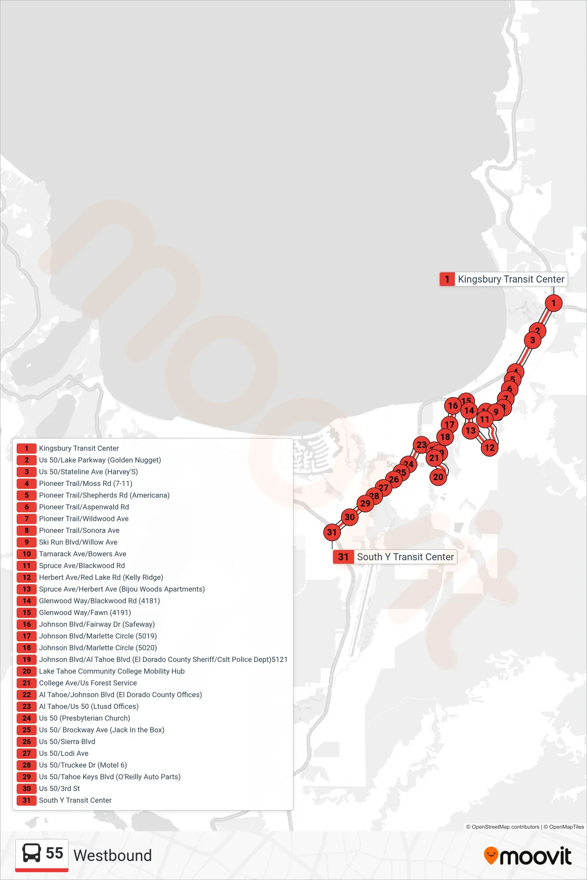
Stops list (55 - Westbound)
- Kingsbury Transit Center
- Us 50/Lake Parkway (Golden Nugget)
- Us 50/Stateline Ave (Harvey'S)
- Pioneer Trail/Moss Rd (7-11)
- Pioneer Trail/Shepherds Rd (Americana)
- Pioneer Trail/Aspenwald Rd
- Pioneer Trail/Wildwood Ave
- Pioneer Trail/Sonora Ave
- Ski Run Blvd/Willow Ave
- Tamarack Ave/Bowers Ave
- Spruce Ave/Blackwood Rd
- Herbert Ave/Red Lake Rd (Kelly Ridge)
- Spruce Ave/Herbert Ave (Bijou Woods Apartments)
- Glenwood Way/Blackwood Rd (4181)
- Glenwood Way/Fawn (4191)
- Johnson Blvd/Fairway Dr (Safeway)
- Johnson Blvd/Marlette Circle (5019)
- Johnson Blvd/Marlette Circle (5020)
- Johnson Blvd/Al Tahoe Blvd (El Dorado County Sheriff/Cslt Police Dept)5121
- Lake Tahoe Community College Mobility Hub
- College Ave/Us Forest Service
- Al Tahoe/Johnson Blvd (El Dorado County Offices)
- Al Tahoe/Us 50 (Ltusd Offices)
- Us 50 (Presbyterian Church)
- Us 50/ Brockway Ave (Jack In the Box)
- Us 50/Sierra Blvd
- Us 50/Lodi Ave
- Us 50/Truckee Dr (Motel 6)
- Us 50/Tahoe Keys Blvd (O'Reilly Auto Parts)
- Us 50/3rd St
- South Y Transit Center