
55 Bus Route Map
View the 55 route map and see all 55 stops along the route. The map of 55 shows where the bus travels and the location of each stop, making it easy to understand the entire route at a glance.
Explore Niederrheinische VKB routes on the map and see where Niederrheinische VKB bus services operate. Use the 55 map to find bus stops and see how the 55 connects different areas along its trip.
All 55 stops on the map are displayed in route order, helping you follow the 55 bus from the first stop to the last.
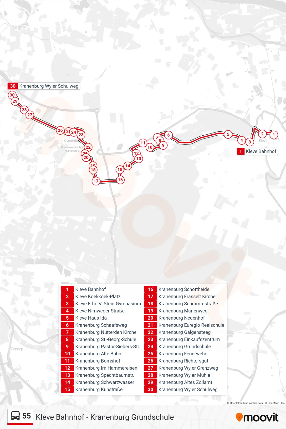
Stops list (55 - Kranenburg Wyler Schulweg)
- Kleve Bahnhof
- Kleve Koekkoek-Platz
- Kleve Frhr.-V.-Stein-Gymnasium
- Kleve Nimweger Straße
- Kleve Haus Ida
- Kranenburg Schaafsweg
- Kranenburg Nütterden Kirche
- Kranenburg St.-Georg-Schule
- Kranenburg Pastor-Siebers-Str.
- Kranenburg Alte Bahn
- Kranenburg Bomshof
- Kranenburg Im Hammereisen
- Kranenburg Spechtbaumstr.
- Kranenburg Schwarzwasser
- Kranenburg Kuhstraße
- Kranenburg Schottheide
- Kranenburg Frasselt Kirche
- Kranenburg Schrammstraße
- Kranenburg Marienweg
- Kranenburg Neuenhof
- Kranenburg Euregio Realschule
- Kranenburg Galgensteeg
- Kranenburg Einkaufszentrum
- Kranenburg Grundschule
- Kranenburg Feuerwehr
- Kranenburg Richtersgut
- Kranenburg Wyler Grenzweg
- Kranenburg Wyler Mühle
- Kranenburg Altes Zollamt
- Kranenburg Wyler Schulweg