
554 Bus Route Map
View the 554 route map and see all 554 stops along the route. The map of 554 shows where the bus travels and the location of each stop, making it easy to understand the entire route at a glance.
Explore Würzburger Straßenbahn routes on the map and see where Würzburger Straßenbahn bus services operate. Use the 554 map to find bus stops and see how the 554 connects different areas along its trip.
All 554 stops on the map are displayed in route order, helping you follow the 554 bus from the first stop to the last.
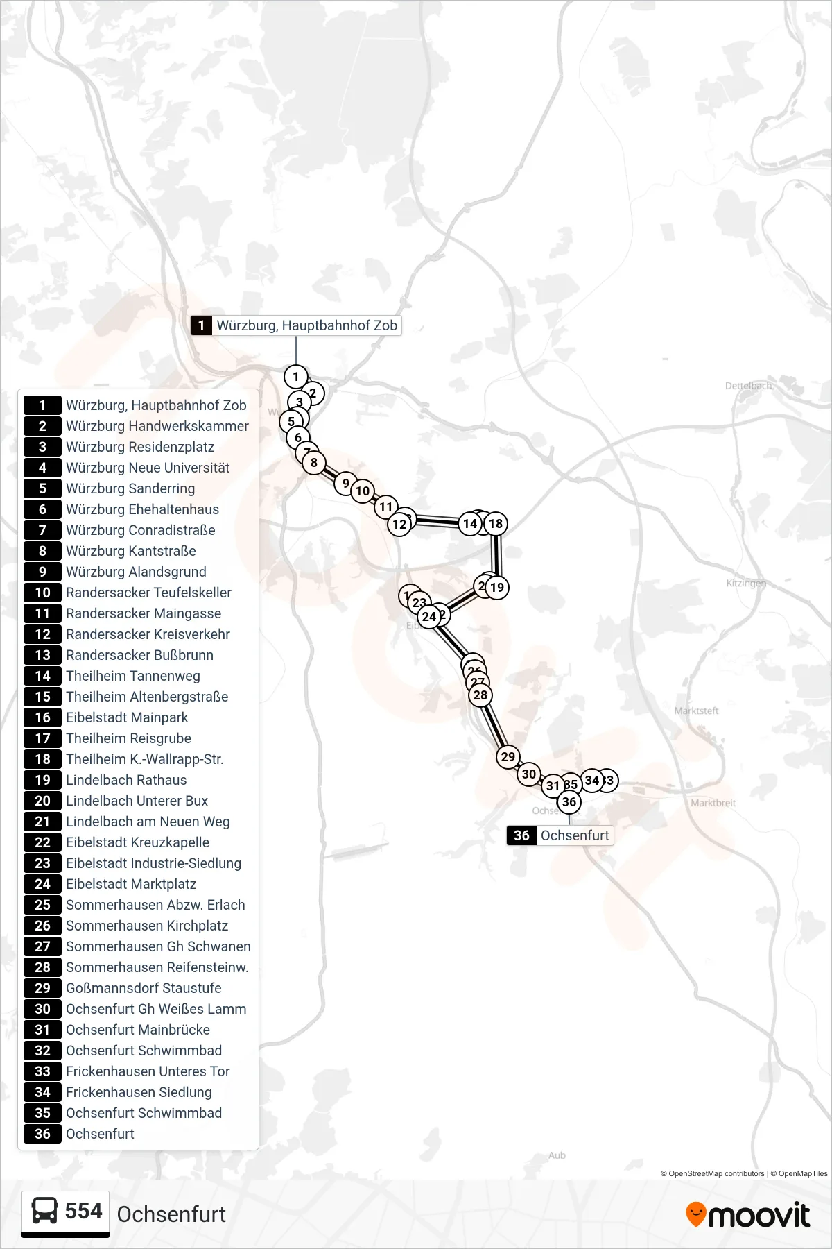
Stops list (554 - Ochsenfurt)
- Würzburg, Hauptbahnhof Zob
- Würzburg Handwerkskammer
- Würzburg Residenzplatz
- Würzburg Neue Universität
- Würzburg Sanderring
- Würzburg Ehehaltenhaus
- Würzburg Conradistraße
- Würzburg Kantstraße
- Würzburg Alandsgrund
- Randersacker Teufelskeller
- Randersacker Maingasse
- Randersacker Kreisverkehr
- Randersacker Bußbrunn
- Theilheim Tannenweg
- Theilheim Altenbergstraße
- Eibelstadt Mainpark
- Theilheim Reisgrube
- Theilheim K.-Wallrapp-Str.
- Lindelbach Rathaus
- Lindelbach Unterer Bux
- Lindelbach am Neuen Weg
- Eibelstadt Kreuzkapelle
- Eibelstadt Industrie-Siedlung
- Eibelstadt Marktplatz
- Sommerhausen Abzw. Erlach
- Sommerhausen Kirchplatz
- Sommerhausen Gh Schwanen
- Sommerhausen Reifensteinw.
- Goßmannsdorf Staustufe
- Ochsenfurt Gh Weißes Lamm
- Ochsenfurt Mainbrücke
- Ochsenfurt Schwimmbad
- Frickenhausen Unteres Tor
- Frickenhausen Siedlung
- Ochsenfurt Schwimmbad
- Ochsenfurt