
56 Bus Route Map
View the 56 route map and see all 56 stops along the route. The map of 56 shows where the bus travels and the location of each stop, making it easy to understand the entire route at a glance.
Explore Transport Board routes on the map and see where Transport Board bus services operate. Use the 56 map to find bus stops and see how the 56 connects different areas along its trip.
All 56 stops on the map are displayed in route order, helping you follow the 56 bus from the first stop to the last.
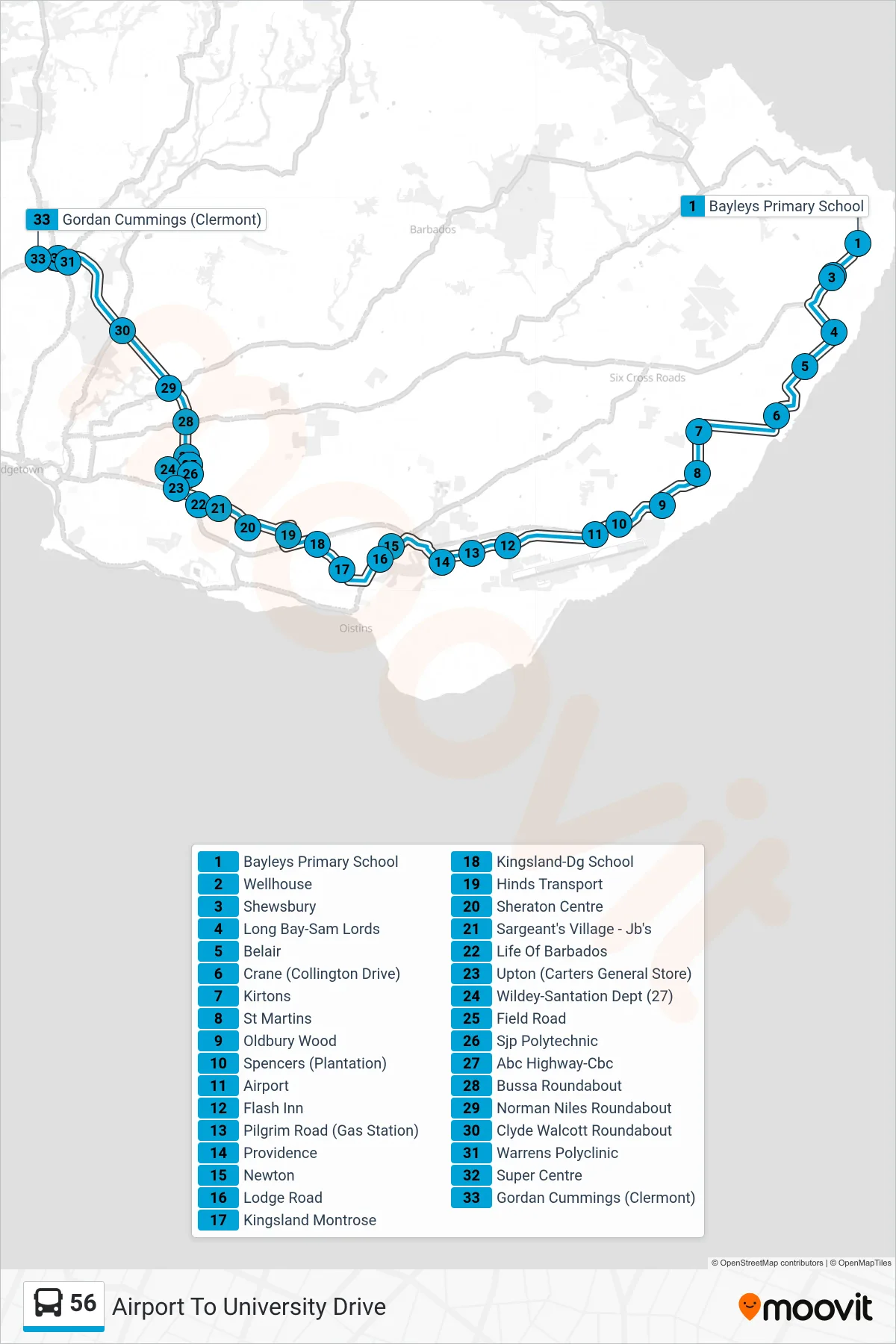
Stops list (56 - Airport To University Drive)
- Bayleys Primary School
- Wellhouse
- Shewsbury
- Long Bay-Sam Lords
- Belair
- Crane (Collington Drive)
- Kirtons
- St Martins
- Oldbury Wood
- Spencers (Plantation)
- Airport
- Flash Inn
- Pilgrim Road (Gas Station)
- Providence
- Newton
- Lodge Road
- Kingsland Montrose
- Kingsland-Dg School
- Hinds Transport
- Sheraton Centre
- Sargeant's Village - Jb's
- Life Of Barbados
- Upton (Carters General Store)
- Wildey-Santation Dept (27)
- Field Road
- Sjp Polytechnic
- Abc Highway-Cbc
- Bussa Roundabout
- Norman Niles Roundabout
- Clyde Walcott Roundabout
- Warrens Polyclinic
- Super Centre
- Gordan Cummings (Clermont)