
59 Bus Route Map
View the 59 route map and see all 59 stops along the route. The map of 59 shows where the bus travels and the location of each stop, making it easy to understand the entire route at a glance.
Explore Autobuses routes on the map and see where Autobuses bus services operate. Use the 59 map to find bus stops and see how the 59 connects different areas along its trip.
All 59 stops on the map are displayed in route order, helping you follow the 59 bus from the first stop to the last.
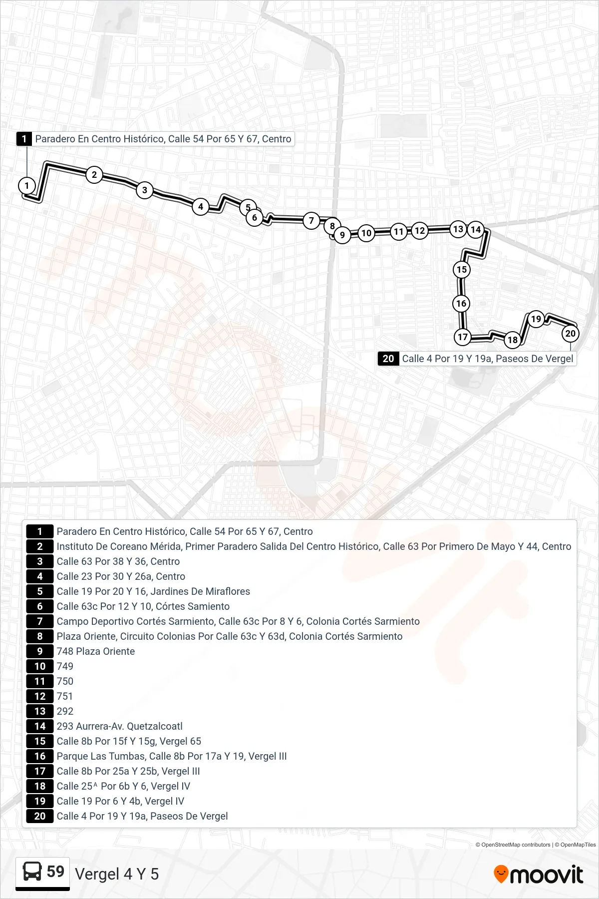
Stops list (59 - Vergel 4 Y 5)
- Paradero En Centro Histórico, Calle 54 Por 65 Y 67, Centro
- Instituto De Coreano Mérida, Primer Paradero Salida Del Centro Histórico, Calle 63 Por Primero De Mayo Y 44, Centro
- Calle 63 Por 38 Y 36, Centro
- Calle 23 Por 30 Y 26a, Centro
- Calle 19 Por 20 Y 16, Jardines De Miraflores
- Calle 63c Por 12 Y 10, Córtes Samiento
- Campo Deportivo Cortés Sarmiento, Calle 63c Por 8 Y 6, Colonia Cortés Sarmiento
- Plaza Oriente, Circuito Colonias Por Calle 63c Y 63d, Colonia Cortés Sarmiento
- 748 Plaza Oriente
- 749
- 750
- 751
- 292
- 293 Aurrera-Av. Quetzalcoatl
- Calle 8b Por 15f Y 15g, Vergel 65
- Parque Las Tumbas, Calle 8b Por 17a Y 19, Vergel III
- Calle 8b Por 25a Y 25b, Vergel III
- Calle 25ᴬ Por 6b Y 6, Vergel IV
- Calle 19 Por 6 Y 4b, Vergel IV
- Calle 4 Por 19 Y 19a, Paseos De Vergel