
59 Bus Route Map
View the 59 route map and see all 59 stops along the route. The map of 59 shows where the bus travels and the location of each stop, making it easy to understand the entire route at a glance.
Explore RAB routes on the map and see where RAB bus services operate. Use the 59 map to find bus stops and see how the 59 connects different areas along its trip.
All 59 stops on the map are displayed in route order, helping you follow the 59 bus from the first stop to the last.
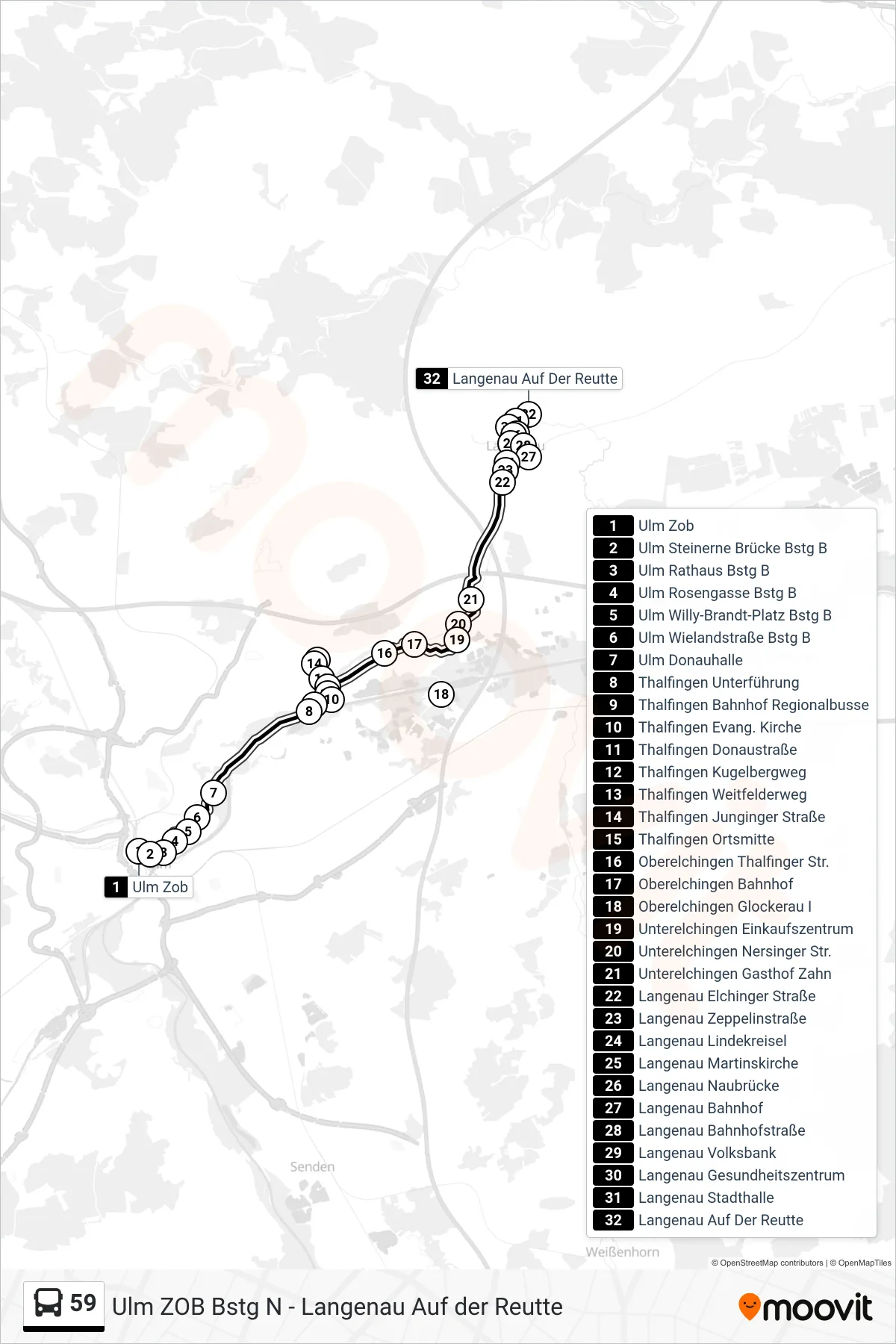
Stops list (59 - Langenau Auf Der Reutte)
- Ulm Zob
- Ulm Steinerne Brücke Bstg B
- Ulm Rathaus Bstg B
- Ulm Rosengasse Bstg B
- Ulm Willy-Brandt-Platz Bstg B
- Ulm Wielandstraße Bstg B
- Ulm Donauhalle
- Thalfingen Unterführung
- Thalfingen Bahnhof Regionalbusse
- Thalfingen Evang. Kirche
- Thalfingen Donaustraße
- Thalfingen Kugelbergweg
- Thalfingen Weitfelderweg
- Thalfingen Junginger Straße
- Thalfingen Ortsmitte
- Oberelchingen Thalfinger Str.
- Oberelchingen Bahnhof
- Oberelchingen Glockerau I
- Unterelchingen Einkaufszentrum
- Unterelchingen Nersinger Str.
- Unterelchingen Gasthof Zahn
- Langenau Elchinger Straße
- Langenau Zeppelinstraße
- Langenau Lindekreisel
- Langenau Martinskirche
- Langenau Naubrücke
- Langenau Bahnhof
- Langenau Bahnhofstraße
- Langenau Volksbank
- Langenau Gesundheitszentrum
- Langenau Stadthalle
- Langenau Auf Der Reutte