
5 B Tram Route Map
View the 5 B route map and see all 5 B stops along the route. The map of 5 B shows where the tram travels and the location of each stop, making it easy to understand the entire route at a glance.
Explore routes on the map and see where tram services operate. Use the 5 B map to find tram stations and see how the 5 B connects different areas along its trip.
All 5 B stops on the map are displayed in route order, helping you follow the 5 B tram from the first station to the last.
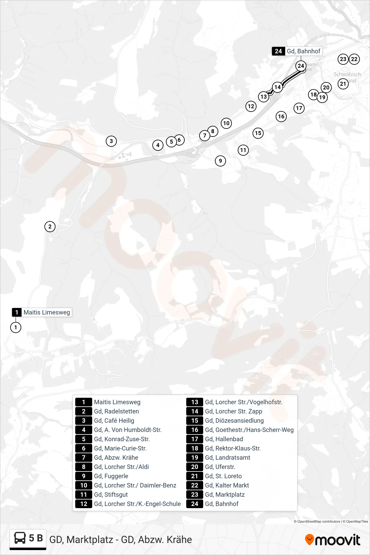
Stops list (5 B - Gd, Bahnhof)
- Maitis Limesweg
- Gd, Radelstetten
- Gd, Café Heilig
- Gd, A. Von Humboldt-Str.
- Gd, Konrad-Zuse-Str.
- Gd, Marie-Curie-Str.
- Gd, Abzw. Krähe
- Gd, Lorcher Str./Aldi
- Gd, Fuggerle
- Gd, Lorcher Str./ Daimler-Benz
- Gd, Stiftsgut
- Gd, Lorcher Str./K.-Engel-Schule
- Gd, Lorcher Str./Vogelhofstr.
- Gd, Lorcher Str. Zapp
- Gd, Diözesansiedlung
- Gd, Goethestr./Hans-Scherr-Weg
- Gd, Hallenbad
- Gd, Rektor-Klaus-Str.
- Gd, Landratsamt
- Gd, Uferstr.
- Gd, St. Loreto
- Gd, Kalter Markt
- Gd, Marktplatz
- Gd, Bahnhof