
5A Bus Route Map
View the 5A route map and see all 5A stops along the route. The map of 5A shows where the bus travels and the location of each stop, making it easy to understand the entire route at a glance.
Explore De Lijn routes on the map and see where De Lijn bus services operate. Use the 5A map to find bus stops and see how the 5A connects different areas along its trip.
All 5A stops on the map are displayed in route order, helping you follow the 5A bus from the first stop to the last.
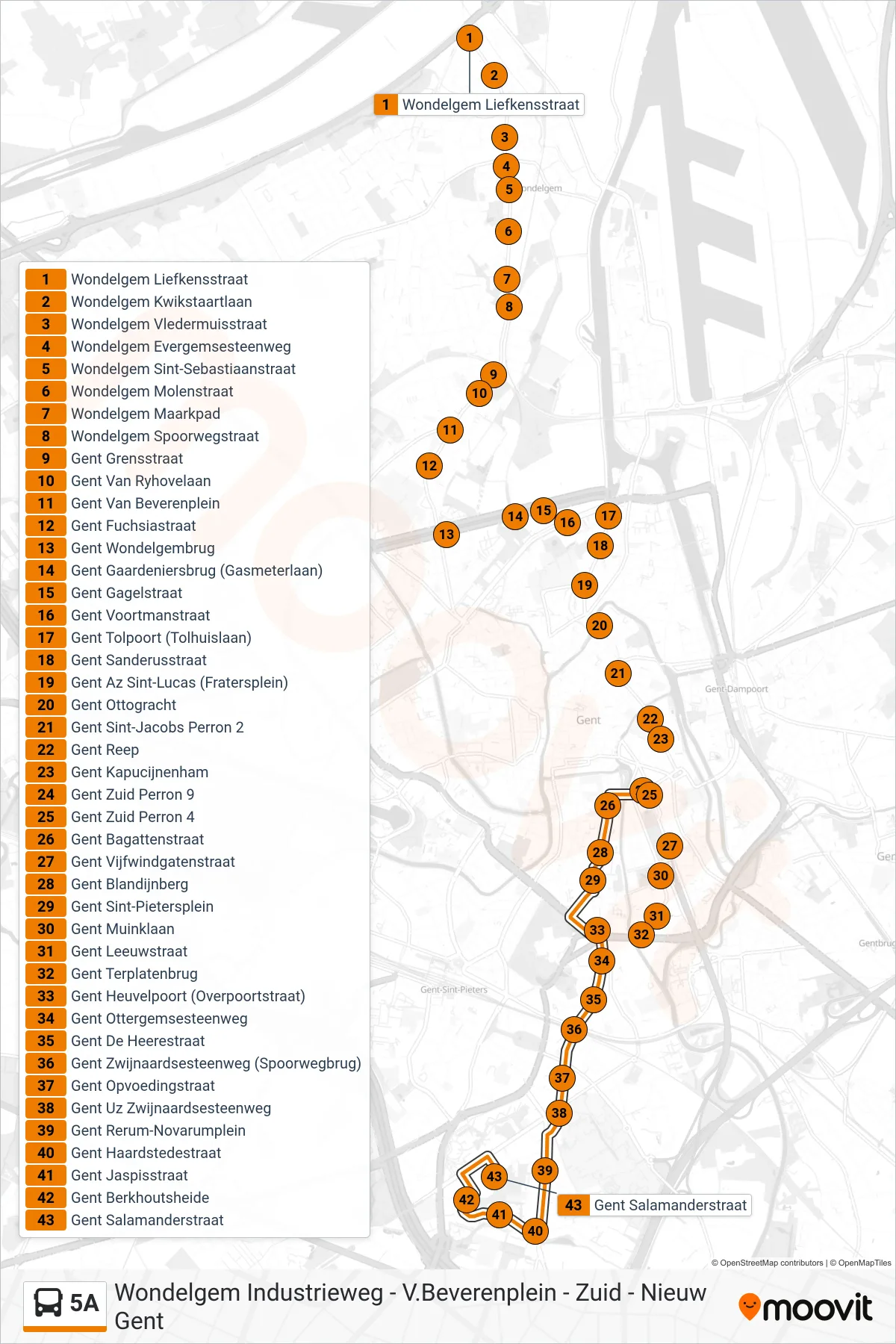
Stops list (5A - Ghent Salamander Street)
- Wondelgem Liefkens Street
- Wondelgem Wagtail Avenue
- Wondelgem Bat Street
- Wondelgem Evergem Road
- Wondelgem Saint Sebastian Street
- Wondelgem Mill Street
- Wondelgem Maarkpad
- Wondelgem Railway Street
- Ghent Border Street
- Ghent Van Ryhovelaan
- Ghent Van Beveren Square
- Ghent Fuchsia Street
- Ghent Wondelgem Bridge
- Ghent Gardeners Bridge (Gas Meter Avenue)
- Ghent Gagel Street
- Ghent Voortman Street
- Ghent Toll Gate (Toll House Lane)
- Ghent Sanderus Street
- Ghent St. Lucas Hospital (Fratersplein)
- Ghent Ottogracht
- Ghent Sint-Jacobs Platform 2
- Ghent Reep
- Ghent Kapucijnenham
- Ghent South Platform 9
- Ghent South Platform 4
- Ghent Bagatten Street
- Ghent Vijfwindgate Street
- Ghent Blandijn Hill
- Ghent Saint Peter's Square
- Ghent Muink Avenue
- Ghent Leeuw Street
- Ghent Terplaten Bridge
- Ghent Heuvelpoort (Overpoort Street)
- Ghent Ottergemse Road
- Ghent De Heere Street
- Ghent Zwijnaarde Road (Railway Bridge)
- Ghent Education Street
- Ghent University Hospital Zwijnaarde Road
- Ghent Rerum Novarum Square
- Ghent Hearth Street
- Ghent Jasper Street
- Ghent Berkhoutsheide
- Ghent Salamander Street